Negev Mountains
Negev Mountains is a mountainous area in the north-western part of the Negev desert, in Israel. Mount Ramon is the summit of Negev Mountains and the highest point in southern Israel, reaching 1,037 metres (3,402 ft).
| Negev Mountains | |
|---|---|
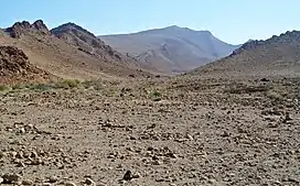 Har 'Arif viewed from the east through the axis of the larger 'Arif makhtesh. | |
| Highest point | |
| Peak | Mount Ramon |
| Elevation | 1,037 m (3,402 ft) |
| Coordinates | 30°30′10″N 34°38′21″E |
| Geography | |
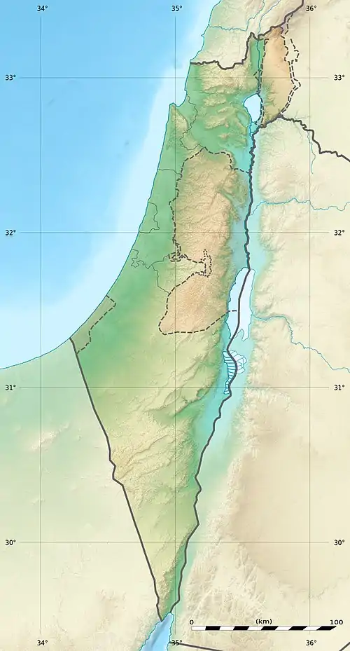 | |
| Country | Israel |
| Nearby town | Mitzpe Ramon |
Most of the area belongs to Negev Mountains Nature Reserve, the largest reserve in Israel. Its area is about 1,045,000 dunam.[1]
List of peaks
List of peaks, sorted by height above sea level:
| Name (Eng.) | Name (Heb.) | Height (m a.s.l.)[2] | Coordinates |
|---|---|---|---|
| Mount Haspas | הר חספס | 715 | 30°22′22″N 34°43′06″E |
| Mount Michael | הר מיכאל | 737 | 30°21′49″N 34°43′15″E |
| Mount Hason (Mount Strong/Mount of the strong/A strong Mountain) | הר חסון | 765 | 30°24′10″N 34°42′08″E |
| Mount Gavriel | הר גבריאל | 776 | 30°21′25″N 34°42′30″E |
| Mount Dela'at[3] | הר דלעת | 781 | 30°17′49″N 34°41′33″E |
| Mount 'Aqrav[3] (Lit:Mount Scorpion) | הר עקרב | 835 | 30°37′26″N 34°40′40″E |
| Mount Karkum[3] | הר כרכום | 842 | 30°37′26″N 34°40′39″E |
| Mount Nafha[3] | הר נפחה | 846 | 30°41′45″N 34°45′08″E |
| Mount 'Ayarim[3] | הר עיירים | 860 | 30°36′46″N 34°35′57″E |
| Mount Arikha[3] | הר אריכא | 863 | 30°39′09″N 34°46′52″E |
| Mount Batur[3] | הר בתור | 896 | 30°24′01″N 34°37′24″E |
| Mount Hemet[3] | הר חמת | 918 | 30°36′19″N 34°42′50″E |
| Mount HaMe'ara[3] (Lit:Mountain of the Cave) | הר המערה | 922 | 30°25′49″N 34°34′24″E |
| Mount Gizron[3] | הר גיזרון (גִזרון) | 926 | 30°34′51″N 34°36′36″E |
| Mount 'Arif[3] | הר עריף | 956 | 30°25′33″N 34°44′02″E |
| Mount Sagi[3] | הר שגיא | 996 | 30°21′02″N 34°38′19″E |
| Mount Harif[3] | הר חריף | 1,012 | 30°29′48″N 34°33′34″E |
| Mount Lots[3] | הר לוץ | 1,018 | 30°26′53″N 34°37′54″E |
| Mount Ramon[3] | הר רמון | 1,037 | 30°30′10″N 34°38′21″E |
References
- שמורות טבע וגנים לאומיים מוכרזים בין השנים 1964–2013 [Designated nature reserves and national parks between 1964–2013] (PDF) (in Hebrew). Nature and Parks Authority. Archived from the original (PDF) on 27 September 2013. Retrieved 19 August 2013.
- All heights are given according to the 1:50,000 topographic map of Israel available at amudanan
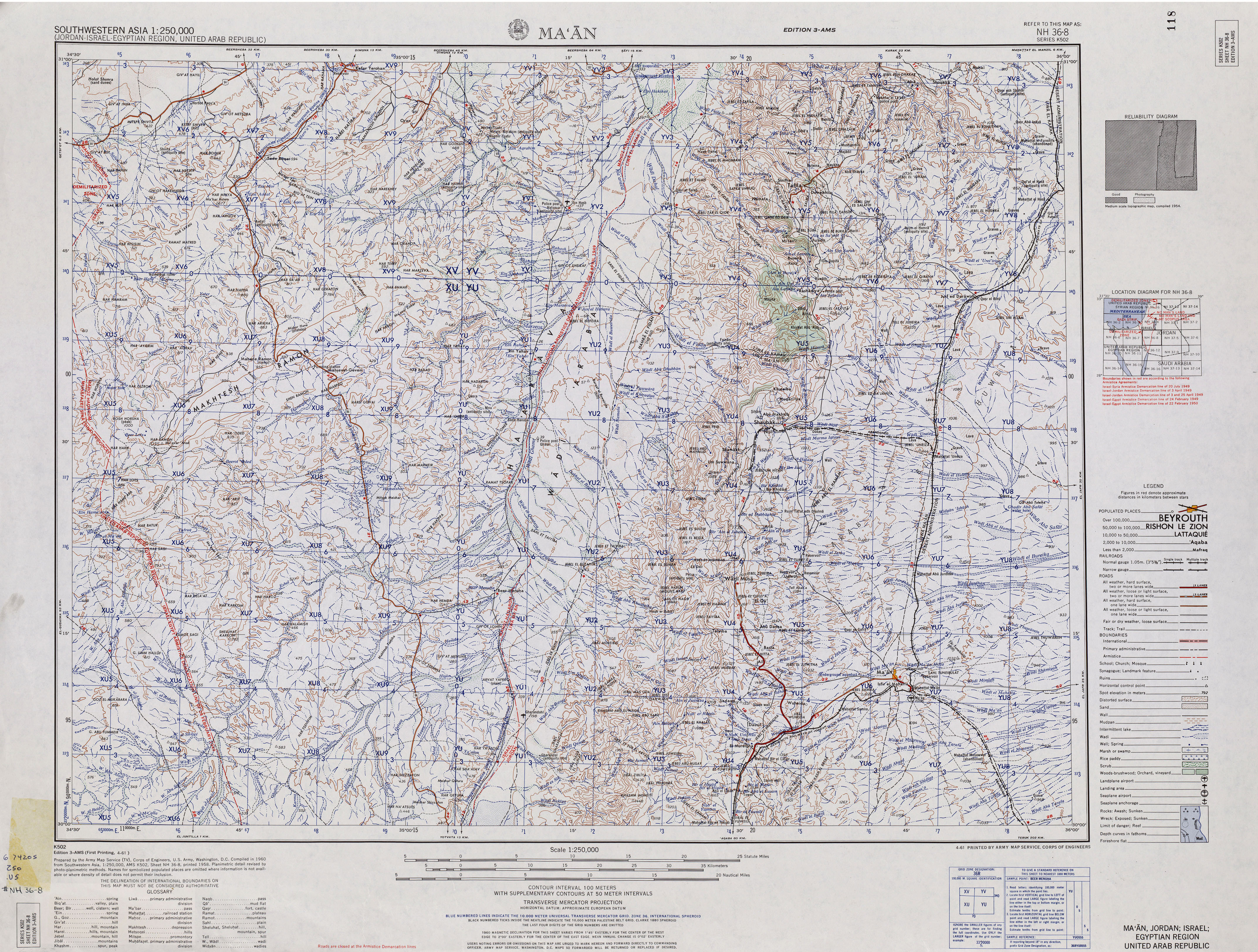
.co (in Hebrew).il - Name given according to: "Southwestern Asia, 1:250,000 (Jordan-Israel-Egyptian Region, United Arab Republic); Map Sheet NH 36-8, Series K502". U.S. Army Map Service. 1960.
This article is issued from Wikipedia. The text is licensed under Creative Commons - Attribution - Sharealike. Additional terms may apply for the media files.