Nadora
Nadora is a village at one end of the North Goa taluka, or sub-district, of Bardez. It is divided by the Colvale river from the northernmost Goa taluka of Pernem or Pednem. It lies between Pirna to its east, and Revora to its west.
Nadora | |
|---|---|
village | |
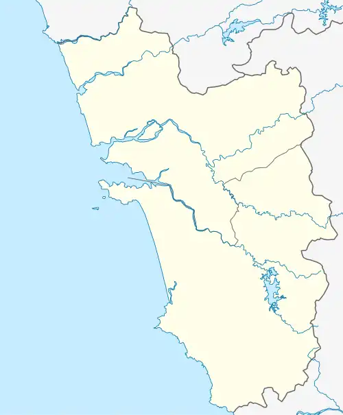 Nadora Location in Goa, India  Nadora Nadora (India) | |
| Coordinates: 15°40′31″N 73°52′28″E | |
| Country | |
| State | Goa |
| District | North Goa |
| Taluka | Bardez |
| Government | |
| • Type | Panchayat |
| Languages | |
| • Official | Konkani |
| Time zone | UTC+5:30 (IST) |
| PIN | 403513 (Colvale) |
| Vehicle registration | GA 03 |
| Nearest city | Mapusa |
| Lok Sabha constituency | North Goa |
| Website | goa |
Area, population
Nadora covers an area of 509.96 hectares.[1] It has a total of 295 households within its village area.[1] In all 1,257 persons live in Nadora, comprising 648 males and 609 females.[1] There are 120 children aged under six, 59 boys and 61 girls, according to the 2011 Census.[1]
Flooding, waterlogging in 2019
In 2019, the Revora-Nadora area was in the news after an island called the Raneache Juvem in the locality flooded due to torrential rain.[2]
Incessant water-logging was also reported during 2019 in the village.[3]
It is located approximately 21 metres (69 ft) above sea level and falls in the Tivim Goa Assembly constituency.
References
- Census of India, 2011 Goa: Series 31, Part XIIB: District Census Handbook, North Goa. Village and Townwise Primary Census Abstracts. Directorate of Census Operations, Goa. 2014. p. 102.
- Fernandes, Paul (9 August 2019). "Families evacuated as island off Revora goes under". The Times of India. Retrieved 10 November 2020.
- Singh, Divyesh (11 August 2019). "Goa floods: People helping each other, no help from administration, say villagers". India Today. Retrieved 10 November 2020.