Muttler
The Muttler (3,296 m) is the highest mountain in the Samnaun Alps. It is located south of Samnaun in the Swiss canton of Graubünden. From 1972 - 2011 a transmitter was located west of the summit.
| Muttler | |
|---|---|
.jpg.webp) | |
| Highest point | |
| Elevation | 3,294 m (10,807 ft) |
| Prominence | 703 m (2,306 ft)[1] |
| Parent peak | Piz Linard |
| Isolation | 11.45 km (7.11 mi)[2] |
| Listing | Alpine mountains above 3000 m |
| Coordinates | 46°54′02.3″N 10°22′43.4″E |
| Geography | |
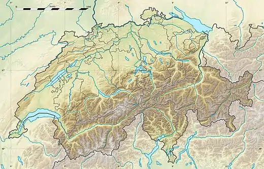 Muttler Location in Switzerland | |
| Location | Graubünden, Switzerland |
| Parent range | Samnaun Alps |
| Climbing | |
| First ascent | 29 July 1859 by Johann Jakob Weilenmann[3][4] |
| Easiest route | Trail leading to the summit |
References
- Retrieved from the Swisstopo topographic maps. The key col is the Pass dal Gips (2,590 m).
- Retrieved from Google Earth. The nearest point of higher elevation is east of the Fluchthorn.
- Gottlieb Studer, Über Eis und Schnee, Volume 3, Bern 1899, p. 398
- O. von Pfister, Der Erschliussung der Ostalpen, Volume 2, Deutscher und Österreichischer Alpenverein, Berlin 1894, p. 43
This article is issued from Wikipedia. The text is licensed under Creative Commons - Attribution - Sharealike. Additional terms may apply for the media files.