Murchison, KwaZulu-Natal
Murchison is a settlement in the Ugu District Municipality in KwaZulu-Natal, South Africa.
Murchison | |
|---|---|
 Murchison 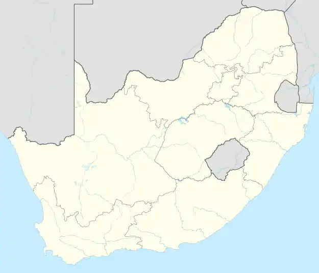 Murchison | |
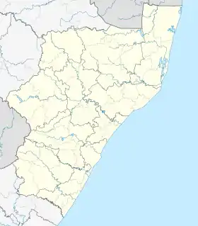
| Coordinates: 30°43′S 30°21′E | |
| Country | South Africa |
| Province | KwaZulu-Natal |
| District | Ugu |
| Municipality | Ray Nkonyeni |
| Area | |
| • Total | 4.73 km2 (1.83 sq mi) |
| Population (2011)[1] | |
| • Total | 8,352 |
| • Density | 1,800/km2 (4,600/sq mi) |
| Racial makeup (2011) | |
| • Black African | 99.0% |
| • Coloured | 0.7% |
| • Indian/Asian | 0.2% |
| • White | 0.04% |
| • Other | 0.08% |
| First languages (2011) | |
| • Zulu | 92.8% |
| • Xhosa | 2.4% |
| • English | 2.4% |
| • Ndebele | 1.2% |
| • Other | 1.1% |
| Time zone | UTC+2 (SAST) |
| PO box | 4250 |
Geography
Murchison is located on the South Coast of KwaZulu-Natal approximately 13 kilometres (8 mi) west of Port Shepstone. It borders the villages of Madakana, Mbotsha, Mdlanzi, Mtengwana and Boboyi.[2][3]
Health facilities
Murchison is home to the Murchison District Hospital which a 300-bed public hospital serving the surrounding rural district. The hospital was opened in 1943 by Mr D. Mitchell.[4][5]
Roads
Murchison lies on the N2 national route roughly running E to W from Port Shepstone to Kokstad. It also connects to the other smaller towns in the hinterland of the South Coast including Ezinqoleni and Harding.
References
- "Sub Place Murchison". Census 2011.
- "Distance Port-Shepstone, Ugu, Kwazulu-Natal, ZAF > Murchison, Ugu, Kwazulu-Natal, ZAF - Air line, driving route, midpoint". www.distance.to.
- "Murchison". Mapcarta.
- "A Short History Of Murchison Hospital". www.kznhealth.gov.za.
- "Murchison Provincial Hospital". www.kznhealth.gov.za. Retrieved 10 October 2020.
This article is issued from Wikipedia. The text is licensed under Creative Commons - Attribution - Sharealike. Additional terms may apply for the media files.