Mount Khülio-King
Mount Khülio-King, alternatively called Khelia King, is the second highest peak in the Indian state of Nagaland. It is the highest in the Khiamniungan region and lies along the India–Myanmar border in the Patkai Range.[3] The peak connects Mount Saramati in the east of Patsho village and south of Noklak. This unexplored mountain is a home to variety of flora and fauna and remains snow capped at the peaks during winter.[4] The terrain is relatively virgin and untouched but a home to rich bio-diversity.[5]
| Khülio-King | |
|---|---|
 Foggy Mt. Khülio King Range during Summer | |
| Highest point | |
| Elevation | 3,462[1] m (11,358 ft) |
| Listing | |
| Coordinates | 26°12′23.22″N 95°3′38.178″E |
| Naming | |
| Language of name | Khiamniungan Naga |
| Geography | |
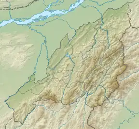 Khülio-King Location in Nagaland, India 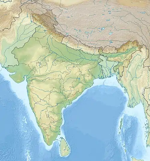 Khülio-King Khülio-King (India) 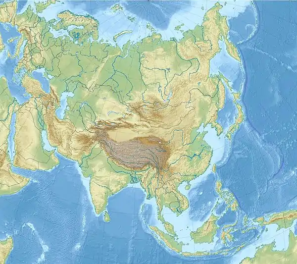 Khülio-King Khülio-King (Asia) .svg.png.webp) Khülio-King Khülio-King (Earth) | |
| Location | Noklak District, Nagaland, India |
| Parent range | Patkai Range |
| Climbing | |
| Easiest route | Hiking |
Significance
Mount Khülio-King is home to rich biodiversity.[6] Abundant natural resources are still intact and human intervention is on the rise. Flowers like Rhododendron, Mountain-ebony and Malberry trees are widely found across Khülio-King.
Route
To visit and explore the peak which is relatively unknown and almost an unexplored mountain one has to either go to Choklangan or Wui Village, however, the road condition is bumpy and diplorable.[7]
References
- : NLTV
- Noklak : joint mountaineering expedition to mount khelua flaggef off
- : Oral History |SPONSORED UNDER TRIDEPARTMENT OF ART AND CULTUREGOVERNMENT OF NAGALAND
- : Frontier Nagaland - A land of unique history, identity and destiny
- : "The Professor And The Mountain"
- Nagaland - A land of unique history, identity and destiny
- Nagaland - A land of unique history, identity and destiny