Mount Barnard (Alsek Ranges)
Mount Barnard, also named Boundary Peak 160, is a mountain in Alaska and British Columbia, located on the Canada–United States border, and part of the Alsek Ranges of the Saint Elias Mountains.[2] In 1923 Boundary Peak 160 was named Mount Barnard in honour of Edward Chester Barnard, a U.S. Boundary Commissioner from 1915 to 1921 and chief topographer of the United States and Canada Boundary Survey from 1903 to 1915.[4] The first ascent of Mount Barnard was made on August 24, 1966, from the head of Tarr Inlet[5] by D. Kenyon King, Peter H. Robinson and David P. Johnston. The details on file with Peak Service at Bartlett Cove, Glacier Bay National Monument, Gustavus, Alaska. [6]
| Mount Barnard | |
|---|---|
| Boundary Peak 160 | |
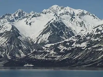
 Summit centered behind | |
| Highest point | |
| Elevation | 8,173 ft (2,491 m)[1] |
| Prominence | 3,678 ft (1,121 m)[1][2] |
| Listing | |
| Coordinates | 59°06′07″N 136°58′12″W[3] |
| Geography | |
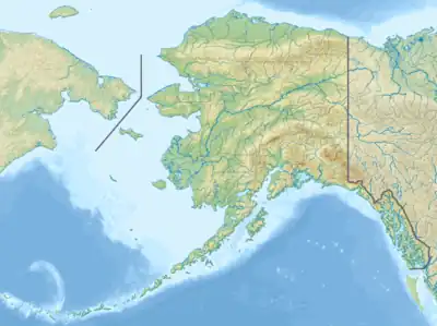
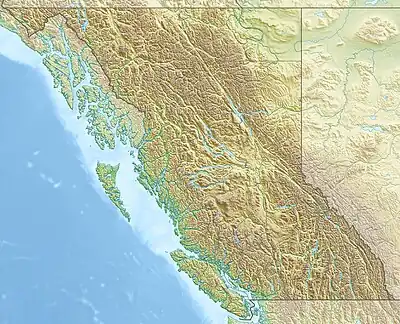 Mount Barnard Mount Barnard (British Columbia) | |
| Parent range | Alsek Ranges |
| Topo map | |
References
- "Mount Barnard". Bivouac.com. Retrieved 2021-09-02.
- "Mount Barnard, British Columbia/Alaska". Peakbagger.com. Retrieved 2021-09-02.
- "Mount Barnard". BC Geographical Names. Retrieved 2021-09-02.
- "Mount Barnard". Geographic Names Information System. United States Geological Survey, United States Department of the Interior. Retrieved 2018-05-16.
- "Skagway - Forest Service" (PDF). USDA. Retrieved 2018-05-18.
- North America, United States, Alaska, Mount Barnard, Glacier Bay Climbs And Expeditions
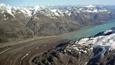
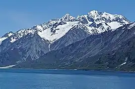
Mt. Barnard upper left corner, with Tarr Inlet
This article is issued from Wikipedia. The text is licensed under Creative Commons - Attribution - Sharealike. Additional terms may apply for the media files.