Monte Penna
Monte Penna is a mountain (1,735 m) on the border between Liguria and Emilia-Romagna, northern Italy, part of the Ligurian Apennines. It is included in the Natural Regional Park of the Aveto, and overlooks the Val di Taro; the sources of both the Taro and Ceno Rivers are located in Monte Penna's slope.
| Monte Penna | |
|---|---|
 | |
| Highest point | |
| Elevation | 1,735 m (5,692 ft)[1] |
| Prominence | 384 m (1,260 ft) |
| Coordinates | 44°28′52.9″N 9°29′34.1″E |
| Geography | |
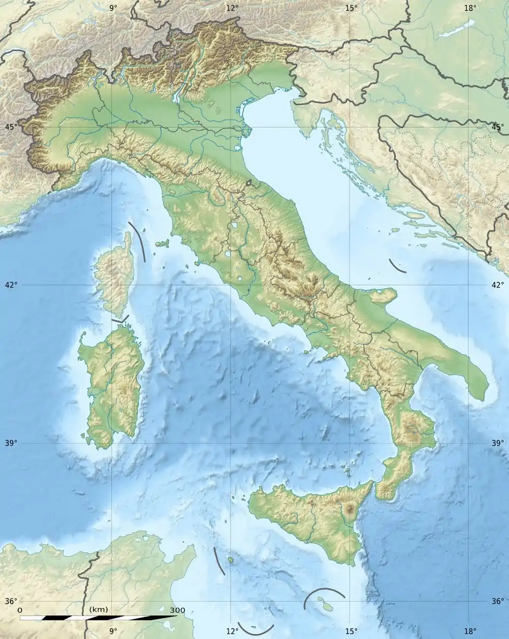 Monte Penna Location in Italy | |
| Location | Liguria/Emilia-Romagna, Italy |
| Parent range | Ligurian Apennines |
The name derives from the ancient Celtic deity Penn, who was believed to reside here by the Ligures.
References
- Salvo, Marco; Canossini, Daniele (2003). Appennino ligure e tosco-emiliano. Club Alpino Italiano and Touring Club Italiano. p. 154. ISBN 8836527752.
This article is issued from Wikipedia. The text is licensed under Creative Commons - Attribution - Sharealike. Additional terms may apply for the media files.