Minard Run
Minard Run is a 3.59 mi (5.78 km) long third-order tributary to East Branch Tunungwant Creek.[2] This is the only stream of this name in the United States.[1]
| Minard Run Tributary to East Branch Tunungwant Creek | |
|---|---|
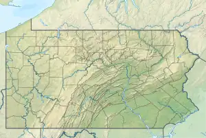
 Location of Minard Run mouth  Minard Run (the United States) | |
| Location | |
| Country | United States |
| State | Pennsylvania |
| County | McKean |
| Physical characteristics | |
| Source | Railroad Run divide |
| • location | about 2 miles east-southeast of Lewis Run, Pennsylvania |
| • coordinates | 41°52′6.00″N 078°41′20.00″W[1] |
| • elevation | 2,200 ft (670 m)[1] |
| Mouth | East Branch Tunungwant Creek |
• location | Degolia, Pennsylvania |
• coordinates | 41°54′39.23″N 078°38′45.10″W[1] |
• elevation | 1,478 ft (450 m)[1] |
| Length | 3.59 mi (5.78 km)[2] |
| Basin size | 8.48 square miles (22.0 km2)[3] |
| Discharge | |
| • location | East Branch Tunungwant Creek |
| • average | 19.71 cu ft/s (0.558 m3/s) at mouth with East Branch Tunungwant Creek[3] |
| Basin features | |
| Progression | East Branch Tunungwant Creek → Tunungwant Creek → Allegheny River → Ohio River → Mississippi River → Gulf of Mexico |
| River system | Allegheny River |
| Tributaries | |
| • left | unnamed tributaries |
| • right | unnamed tributaries |
| Bridges | Minard Run Road (x2), Langley Drive, Pennhills Drive, Fuller Road, High Street |
Course
Minard Run rises about 2 miles (3.2 km) east-southeast of Lewis Run, Pennsylvania, and then flows northeast and turns northwest to meet East Branch Tunungwant Creek at Degolia.
Watershed
Minard Run drains 8.48 square miles (22.0 km2) of area, receives about 46.5 in/year (118 cm/year) of precipitation, and is about 81.97% forested.[3]
See also
References
- "Geographic Names Information System". edits.nationalmap.gov. US Geological Survey. Retrieved January 24, 2023.
- "ArcGIS Web Application". epa.maps.arcgis.com. US EPA. Retrieved January 24, 2023.
- "Watershed Report | Office of Water | US EPA". watersgeo.epa.gov. US EPA. Retrieved January 24, 2023.
This article is issued from Wikipedia. The text is licensed under Creative Commons - Attribution - Sharealike. Additional terms may apply for the media files.