Mile End, Gloucestershire
Mile End is a small village in the English county of Gloucestershire. It belongs to the civil parish of Coleford, which is also its post town. Mile End is 1 mile (1.6 km) northeast of Coleford. The village lies at the western edge of the Forest of Dean. The village merges with the village of Broadwell to the south.
| Mile End | |
|---|---|
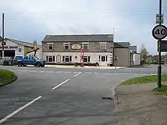 Mile End and the Royal Forest Inn | |
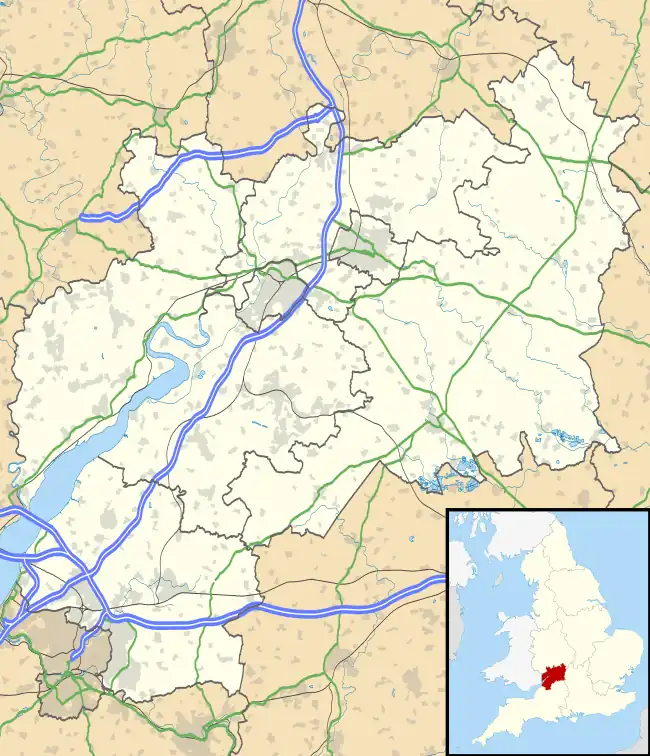 Mile End Location within Gloucestershire | |
| OS grid reference | SO587118 |
| Civil parish | |
| District | |
| Shire county | |
| Ceremonial county | |
| Region | |
| Country | England |
| Sovereign state | United Kingdom |
| Post town | Coleford |
| Postcode district | GL16 |
| Dialling code | 01594 |
| Police | Gloucestershire |
| Fire | Gloucestershire |
| Ambulance | South Western |
History
Mile End is situated on the road leading northeast out of Coleford. The road between Mile End and Poolgreen was known in 1317 as the Derkesty (later Dark Stile).[1] It was an important route from Mitcheldean, and in the later 17th century traffic between Gloucester and South Wales used this route.[1]
Five cottages were built on Crown land on the Five Acres road at Mile End in 1787.[2] The inn originally known as the Royal Forester opened by the mid 1870s.[3] The Primitive Methodists built a chapel, Mount Hermon, at Mile End in 1904.[4] West Dean district council created a cemetery at Mile End for an area covering Milkwall, Berry Hill, and Lydbrook in 1967.[5]
References
- Coleford, Victoria County History
- Forest of Dean: Settlement, Victoria County History
- Forest of Dean: Social life, Victoria County History
- Forest of Dean: Protestant nonconformity, Victoria County History
- Forest of Dean: Local government and public services, Victoria County History
External links
![]() Media related to Mile End, Gloucestershire at Wikimedia Commons
Media related to Mile End, Gloucestershire at Wikimedia Commons