Matongo (Singida ward)
Matongo is an administrative ward in the Mkalama District of the Singida Region of Tanzania. In 2016 the Tanzania National Bureau of Statistics report there were 6,955 people in the ward, from 6,338 in 2012.[2]: 129 [1]: 104
Matongo
Kata ya Matongo | |
|---|---|
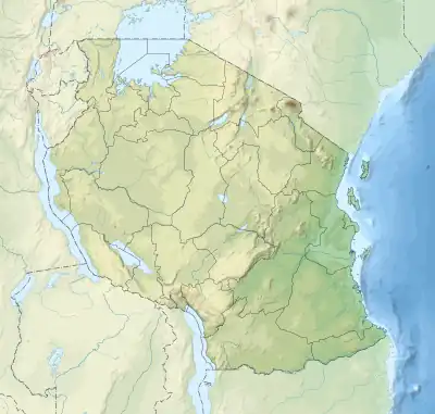
 Matongo Location of Matongo  Matongo Matongo (Africa) | |
| Coordinates: 4.08774°S 34.74794°E | |
| Country | |
| Region | Singida Region |
| District | Mkalama District |
| Ward | Matongo |
| Population | |
| • Total | 6,955 |
| Time zone | UTC+3 (EAT) |
| Postcode | 43514 |
Villages
The ward has 18 villages.[3]
- Matongo A
- Matongo B
- Kirumi
- Hindamili
- Mpondelo
- Isene Isene
- Kinyamapupu
- Igwilambao
- Idebe
- Kinyamkunde
- Manung'una Munung’una
- Mwamakiki
- Mabiha
- Mwamidu
- Mazangili Mazangili
- Tandusi
- Munguli
- Mkenka
References
- 2016 Makadirio ya Idadi ya Watu katika Majimbo ya Uchaguzi kwa Mwaka 2016, Tanzania Bara [Population Estimates in Administrative Areas for the Year 2016, Mainland Tanzania] (PDF) (Report) (in Swahili). Dar es Salaam, Tanzania: National Bureau of Statistics. 1 April 2016. Archived (PDF) from the original on 27 December 2021. Retrieved 3 July 2022.
- 2012 Population and Housing Census - Population Distribution by Administrative Areas (PDF) (Report). Dar es Salaam, Tanzania: National Bureau of Statistics. 1 March 2013. Archived (PDF) from the original on 26 March 2022. Retrieved 3 July 2022.
- "Singida Postcodes" (PDF). Tanzania Communications Regulatory Authority. Archived (PDF) from the original on 29 July 2022. Retrieved 9 August 2022.
This article is issued from Wikipedia. The text is licensed under Creative Commons - Attribution - Sharealike. Additional terms may apply for the media files.