Manu River (Tripura)
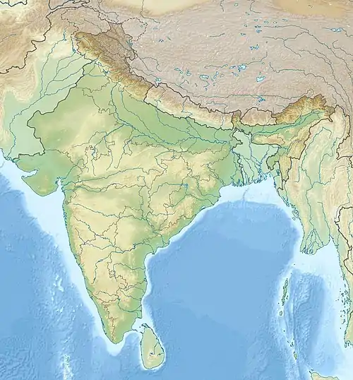
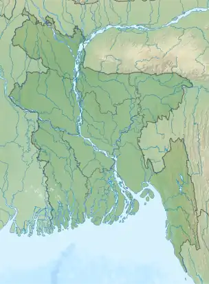
Manu is an Indo-Bangladesh transboundary river that originates below the Kahosib Chura of the Shakhantang Mountains in the Indian state of Tripura, flowing north-east through Kumarghat and Kailasahar, and Passes through the Moulvibazar district of Bangladesh to the Sylhet Plain,[1] later the Dholai River joins Manu and then it flows northwest and meets the Kushiara Manumukh. It is 167 km (104 m) long, making it the longest river in Tripura.[2] It is located near the town of Manu.[3] The river has a width of 200 meters in the railway bridge area. The area of the basin is 500 square kilometres. The river flows throughout the year.[4]
| Manu River | |
|---|---|
  | |
| Native name | মনু নদী (Bengali) |
| Location | |
| Countries | India and Bangladesh |
| State(s) | Tripura Sylhet |
| District(s) | Unakoti Moulvibazar |
| Cities | Kailashahar & Kumarghat (India) Moulvibazar (Bangladesh) |
| Physical characteristics | |
| Length | 167 km (104 mi) |
Legend
Some believe that a Hindu Shastrakar, Manu, used to worship Shiva on the banks of this river, hence the name of this river is Manu.[5]
See also
References
- Md Mahbub Murshed (2012). "Manu River". In Sirajul Islam and Ahmed A. Jamal (ed.). Banglapedia: National Encyclopedia of Bangladesh (Second ed.). Asiatic Society of Bangladesh.
- "Tripura Geography for the preparation of TPSC examinations..." tripuraexam.in. Retrieved 29 October 2020.
- "Google Maps". Google Maps. Retrieved 16 June 2022.
- Dr. Ashok Biswas, Rivers of Bangladesh, Gatidhara, Dhaka, February 2011, pp. 299-300.
- Dr. Ashok Biswas, Rivers of Bangladesh, Gatidhara, Dhaka, February 2011, pp. 299-300.