Magri Pora
Magri Pora is a village in Anantnag tehsil of Anantnag district in the Kashmir Valley of Jammu and Kashmir, India. Magri Pora is situated 8 km away from the city of Anantnag.[3][4]
Magri Pora | |
|---|---|
Village | |
 Magri Pora Location in Jammu and Kashmir, India 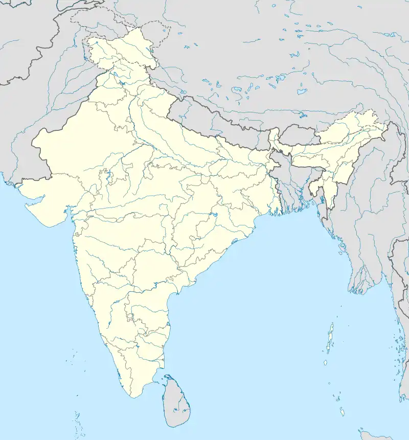 Magri Pora Magri Pora (India) | |
| Coordinates: 34.3387°N 74.5390°E | |
| Country | India |
| State | Jammu and Kashmir |
| District | Anantnag district |
| Area | |
| • Total | 76.9 ha (190.0 acres) |
| Elevation | 1,639 m (5,377 ft) |
| Population (2011) | |
| • Total | 3,398 |
| • Density | 4,400/km2 (11,000/sq mi) |
| Languages | |
| • Official | Kashmiri, Urdu, Hindi, Dogri, English[1][2] |
| Time zone | UTC+5:30 (IST) |
| PIN | 192201 |
| Census code | 003678 |
Demographics
According to the 2011 Census of India, Hardu Toru village has a total population of 1,725 people including 882 males and 843 females; and has a literacy rate of 53.97%.[5][6]
| Population | Total | Male | Female |
|---|---|---|---|
| Total Population | 1,725 | 882 | 843 |
| Literate Population | 931 | 559 | 372 |
| Illiterate Population | 794 | 323 | 471 |
References
- "The Jammu and Kashmir Official Languages Act, 2020" (PDF). The Gazette of India. 27 September 2020. Archived (PDF) from the original on 19 October 2020. Retrieved 2 September 2022.
- "Parliament passes JK Official Languages Bill, 2020". Rising Kashmir. 23 September 2020. Archived from the original on 24 September 2020. Retrieved 2 September 2022.
- Kashmir, India Superintendent of Census Operations, Jammu and (1966). District Census Handbook, Jammu & Kashmir: Anantnag. University of Michigan. p. 148.
{{cite book}}: CS1 maint: multiple names: authors list (link) - Kashmir (India), Jammu and (1964). The Jammu and Kashmir Government Gazette. University of California. p. 127.
- "District Census Handbook Anantnag" (PDF). Census of India 2011. p. 94. Archived (PDF) from the original on 16 November 2020. Retrieved 2 September 2022.
- "Primary census abstract at town, village and ward level, Jammu and Kashmir - District Anantnag - 2011". Office of the Registrar General & Census Commissioner, India. Archived from the original on 19 August 2022. Retrieved 2 September 2022.
This article is issued from Wikipedia. The text is licensed under Creative Commons - Attribution - Sharealike. Additional terms may apply for the media files.