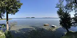
Śniardwy
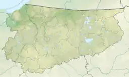
Śniardwy (German: ⓘ)[1] is a lake in the Masurian Lake District of the Warmian-Masurian Voivodeship, Poland.
| Śniardwy | |
|---|---|
 Śniardwy in Niedźwiedzi Róg | |
 Śniardwy 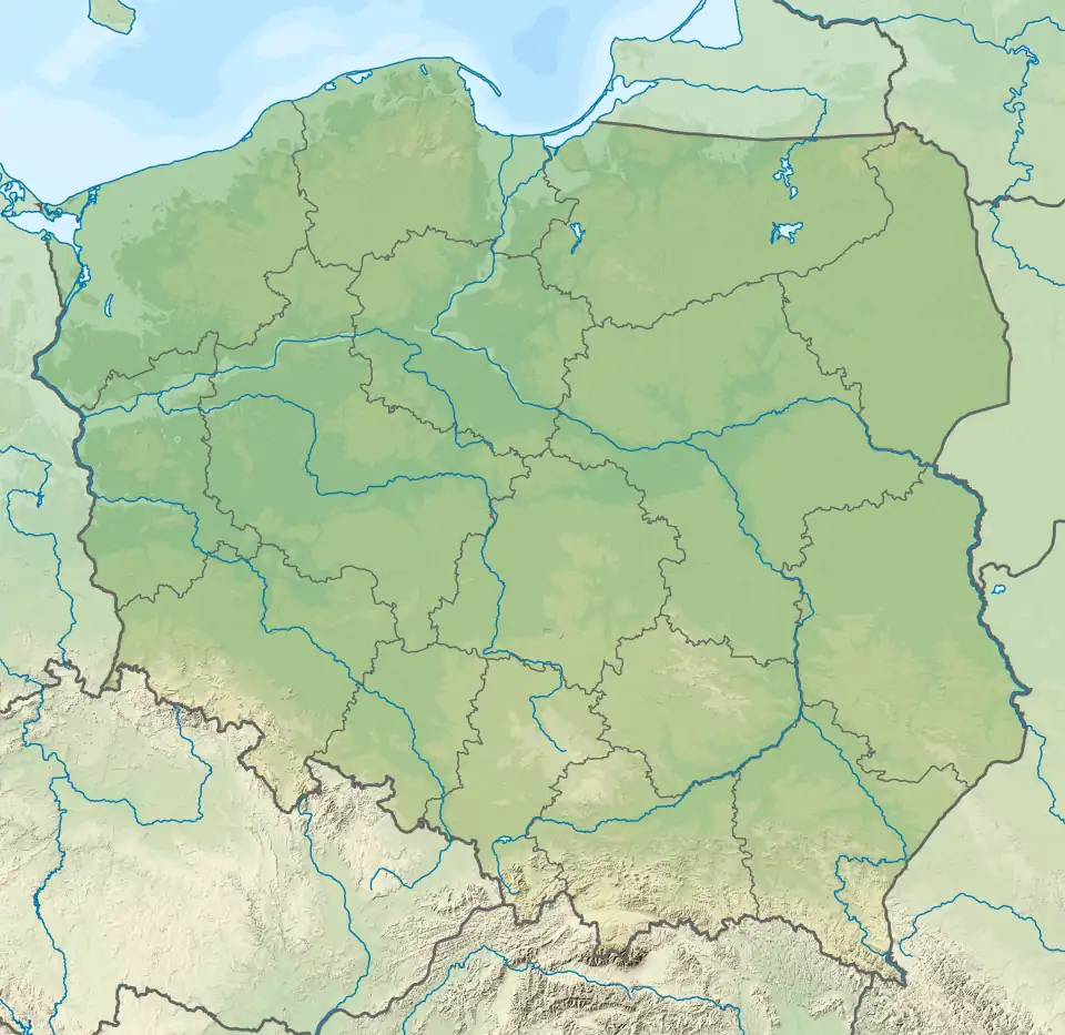 Śniardwy | |
| Location | Masurian Lake District |
| Coordinates | 53°46′N 21°45′E |
| Type | Glacial lake |
| Basin countries | Poland |
| Max. length | 22.1 km (13.7 mi) |
| Max. width | 13.4 km (8.3 mi) |
| Surface area | 113.8 km2 (43.9 sq mi) |
| Average depth | 6.5 m (21 ft) |
| Max. depth | 23 m (75 ft) |
| Water volume | 0.65 km3 (530,000 acre⋅ft) |
| Surface elevation | 117 m (384 ft) |
| Islands | 8 |
At 113.8 square kilometres (43.9 sq mi), Śniardwy is the largest lake in Poland. It was also the largest lake in Prussia, when Warmia-Masuria was under German rule.[2] It is 22.1 kilometres (13.7 mi) long and 13.4 kilometres (8.3 mi) wide. The maximum depth is 23 metres (75 feet). There are eight islands on the Śniardwy lake.[3]
Geography
Śniardwy was formed by retreating ice sheet and draining floodwaters occurring as the result of ice calving ahead of the receding glacier. Among the eight islands are: Szeroki Ostrów, Czarci Ostrów, Wyspa Pajęcza, Wyspa Kaczor and others. Surrounding settlements include Popielno, Głodowo, Niedźwiedzi Róg, Okartowo, Nowe Guty, Zdęgowo and Łuknajno.[3]
Among the many inlets, two are named as separate lakes: Warnołty and Seksty. Śniardwy connects with the following lakes: Tuchlin, Łuknajno, Mikołajskie, Roś, Białoławki and Tyrkło. It is surrounded by the system of canals known as Kanały Mazurskie (Masurian Canals), with numerous sluices. Together, they form the Polish Masurian Lake District.[3]
Bibliography
- Bednarz, Klaus (June 2010). Ferne und Nähe (in German). ISBN 978-3-498-00635-8.
- . Encyclopædia Britannica. Vol. 8 (11th ed.). 1911.
- Lake Śniardwy at the International Lake Environment Committee webpage
- J. Szynkowski, Mazury. Przewodnik, Kengraf Kętrzyn, 2003