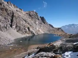
Lägh dal Lunghin
Lägh dal Lunghin (German: Lunghinsee) is a lake at an elevation of 2484 m, below the peak of Piz Lunghin, in the Graubünden, Switzerland. It is considered the source of the Inn River.
| Lägh dal Lunghin | |
|---|---|
 Lägh dal Lunghin | |
 Lägh dal Lunghin 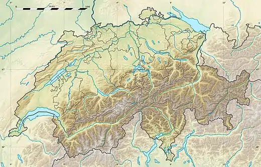 Lägh dal Lunghin  Lägh dal Lunghin | |
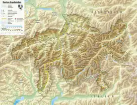
| Location | Engadin, Grisons |
| Coordinates | 46°25′2″N 9°40′30″E |
| Native name | |
| Basin countries | Switzerland |
| Average depth | 9.2 m (30 ft) |
| Surface elevation | 2,484 m (8,150 ft) |
| Frozen | November - July (ice) |
This article is issued from Wikipedia. The text is licensed under Creative Commons - Attribution - Sharealike. Additional terms may apply for the media files.