Kuntur Salla
Kuntur Salla (Quechua kuntur condor, salla large cliff of gravel,[2][3] "condor cliff", Hispanicized spelling Condorsalla) is a 5,003-metre-high (16,414 ft) mountain in the Andes of Peru. It is located in the Arequipa Region, Condesuyos Province, Cayarani District.[4]
| Kuntur Salla | |
|---|---|
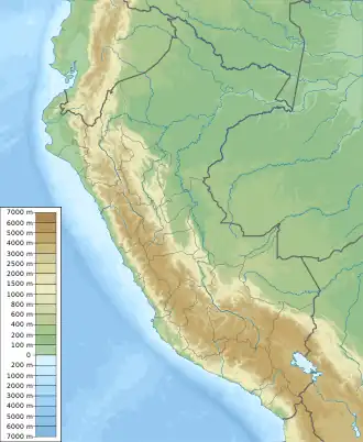 Kuntur Salla Peru | |
| Highest point | |
| Elevation | 5,003 m (16,414 ft)[1] |
| Coordinates | 14°47′30″S 71°57′14″W |
| Geography | |
| Location | Peru, Arequipa Region |
| Parent range | Andes |
References
- Peru 1:100,000, Velille 2541 J632 Edition I-DMA, Map prepared and published by the Defense Mapping Agency
- "Diccionario: Quechua - Español - Quechua, Simi Taqe: Qheswa - Español - Qheswa" (PDF). Diccionario Quechua - Español - Quechua. Gobierno Regional del Cusco, Perú: Academía Mayor de la Lengua Quechua. 2005.
- Teofilo Laime Ajacopa (2007). Diccionario Bilingüe: Iskay simipi yuyayk’anch: Quechua – Castellano / Castellano – Quechua (PDF). La Paz, Bolivia.
{{cite book}}: CS1 maint: location missing publisher (link) - escale.minedu.gob.pe - UGEL map of the Chumbivilcas Province (Cusco Region)
This article is issued from Wikipedia. The text is licensed under Creative Commons - Attribution - Sharealike. Additional terms may apply for the media files.