Koyo Zom
Koyo Zom (Urdu: کویو زوم) is the highest peak in the Hindu Raj mountain range at 6,872 metres (22,546 ft).[4] The Hindu Raj mountain range sits between the Hindu Kush in the west and the Karakoram in the east.
| Koyo Zom | |
|---|---|
| Highest point | |
| Elevation | 6,872 m (22,546 ft)[1] |
| Prominence | 2,562 m (8,406 ft)[1] |
| Listing | Ultra |
| Coordinates | 36°43′21″N 73°14′17″E[2] |
| Naming | |
| Native name | کویو زوم (Urdu) |
| Geography | |
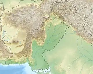 Koyo Zom Pakistan | |
| Location | Khyber Pakhtunkhwa/ Gilgit-Baltistan |
| Parent range | Hindu Raj |
| Climbing | |
| First ascent | 1968 by an Austrian expedition[3] |
Koyo Zom is located on the boundary of the Chitral District of Khyber Pakhtunkhwa and Gilgit-Baltistan. It was first climbed by an Austrian expedition in 1968.
References
- "High Asia I: The Karakoram, Pakistan Himalaya and India Himalaya (north of Nepal)". Peaklist.org. Retrieved 2014-05-27.
- "http://bbs.keyhole.com/ubb". Archived from the original on 2012-02-04. Retrieved 2006-05-20.
{{cite web}}: External link in|title= - "Koyo Zom". Peakware.com. Archived from the original on 2016-03-04. Retrieved 2014-05-27.
- "Koyo Zom, Pakistan". Peakbagger.com. Retrieved 2014-05-27.
External links
- Northern Pakistan detailed placemarks in Google Earth Archived 2012-02-04 at the Wayback Machine
This article is issued from Wikipedia. The text is licensed under Creative Commons - Attribution - Sharealike. Additional terms may apply for the media files.