Kodlipet
Kodlipete or Kodlipet is a village in Somwarpet taluk in Kodagu district of Karnataka, India. It is the northernmost town of Kodagu district.
Kodlipete
Doddakodli, Kodlipet | |
|---|---|
Village | |
| Kodlipete | |
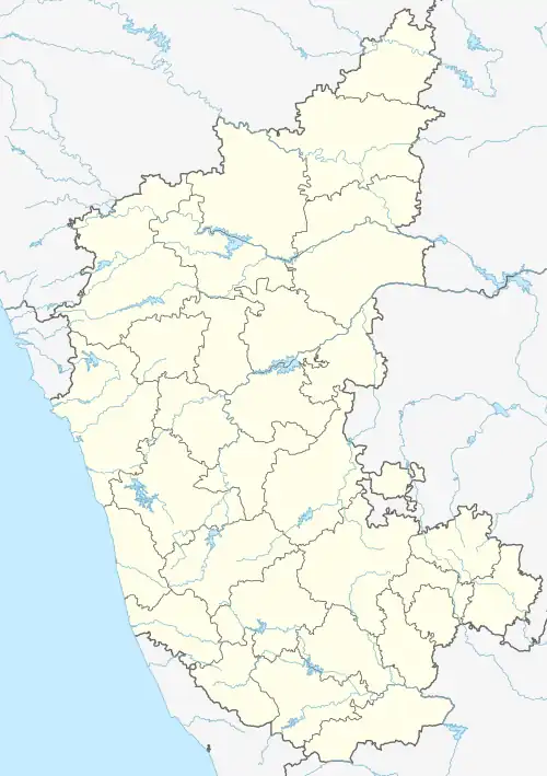 Kodlipete Location in Karnataka, India | |
| Coordinates: 12.801109°N 75.887696°E | |
| Country | |
| State | Karnataka |
| District | Kodagu |
| Taluk | Somwarpet |
| Government | |
| • Body | Grama Panchayath |
| Area | |
| • Total | 5.40 km2 (2.08 sq mi) |
| Elevation | 955 m (3,133 ft) |
| Population (2011) | |
| • Total | 3,769 [1] |
| Languages | |
| • Official | Kannada |
| Time zone | UTC+5:30 (IST) |
| PIN | 571231 |
| Telephone code | 08276 |
| Vehicle registration | KA-12 |
As per census survey 2011, its location code number is 617862 (Doddakodli).
It lies on SH-27.[2] Kodlipete is located at a distance of 31 km from taluk headquarter Somvarpete, 68 km from district headquarter Madikeri and 213 km from the state capital Bengaluru.
Climate
Kodlipet experiences Hot&wet type of climate. Due to its proximity to Gorur dam, it experiences high humidity as well. Winters are dry and cold, with minimum temperatures dropping below 10°C. In 2022, it received 1,986 millimetres (78.2 in) of annual rainfall (23% above normal).[3]
References
- "Census Data Handbook 2011" (PDF). Retrieved 31 August 2023.
- "Virajpet - Byndoor Highway" (PDF). Retrieved 31 August 2023.
- "Annual State Report 2022" (PDF). Retrieved 31 August 2023.
This article is issued from Wikipedia. The text is licensed under Creative Commons - Attribution - Sharealike. Additional terms may apply for the media files.