Karaçavuş Mountains
Karaçavuş Mountains (Turkish: Karaçavuş Dağları), is a mountain range in the south of Muş province. The city of Muş is located at the foot of the mountain.[1] [2]
| Karaçavuş Mountains | |
|---|---|
 Karaçavuş Mountains Turkey | |
| Highest point | |
| Elevation | 2.746 m (9.01 ft) |
| Coordinates | 38°40′02″N 41°27′02″E |
| Geography | |
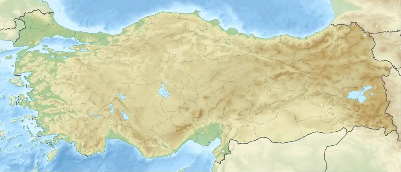
| Location | Muş Province, Turkey |
| Parent range | Taurus Mountains |
Geology and geomorphology
The highest point of the Karaçavuş Mountains is Çavuş(Kurtik) Mountain with a height of 2.746 meters. The Karaçavuş Mountains extend from the border of Genç District to the Rahva plain near Güroymak.[3]
References
- "Muş il fiziki haritası" (PDF) (in Turkish). Harita genel müdürlüğü. September 28, 2023. Archived (PDF) from the original on August 18, 2023.
- "Dağlar". Muş İl Kültür ve Turizm Müdürlüğü (in Turkish). Retrieved 2023-09-28.
- "Muş ilinde yaylaların dağılışı" (PDF) (in Turkish). Turkish Studies- International Balkan University. March 2019. p. 24. Archived (PDF) from the original on August 20, 2023.
Wikimedia Commons has media related to Karaçavuş Mountains.
This article is issued from Wikipedia. The text is licensed under Creative Commons - Attribution - Sharealike. Additional terms may apply for the media files.