Kagoma, Nigeria
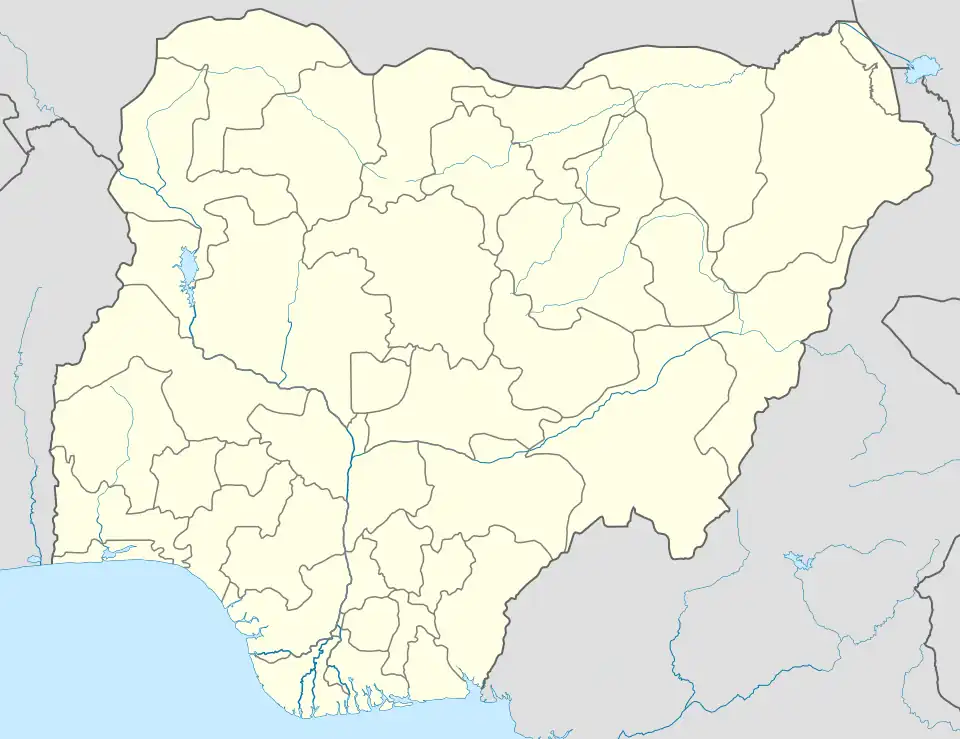
Kagoma is a district of Jema'a Local Government Area, southern Kaduna state in the Middle Belt region of Nigeria.[2] The postal code for the village is 801104.[3][4][5]

A corn field along Kagoma-Kwain (Kwoi) road
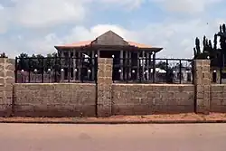
Kpop Gwong new palace site
Kagoma
Gwong | |
|---|---|
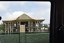
 Kpop Gwong's new palace under construction | |
| Nickname: K10 | |
 Kagoma | |
| Coordinates: 09°31′N 08°11′E[1] | |
| Country | |
| State | Kaduna State |
| LGA | Jema'a |
| Government | |
| • Kpop Gwong | Kpop (Col.) Paul Zakka Wyom (rtd.) |
| Time zone | UTC+01:00 (WAT) |
| Climate | Aw |
People
Language
Transportation
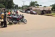
Junction to Kagoma town
The major means of transportation in and around the town is road transportation.
References
- "Fadan Kagoma Map - Satellite Images of Fadan Kagoma". maplandia.com. Retrieved September 25, 2020.
- "Kagoma, Jema'A, Kaduna State, Nigeria". mindat.org. Retrieved September 25, 2020.
- "Nigeria Postcode". Retrieved September 25, 2020.
- "Post Offices- with map of LGA". NIPOST. Archived from the original on 2009-10-07. Retrieved 2020-09-25.
- "Kagoma/Asso Post Codes: Nigeria". World Postal Code. Retrieved September 25, 2020.
This article is issued from Wikipedia. The text is licensed under Creative Commons - Attribution - Sharealike. Additional terms may apply for the media files.