Kaber, Cumbria
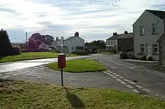
Kaber is a village and civil parish in the Eden District of Cumbria, England.[1][2]
| Kaber | |
|---|---|
 Kaber | |
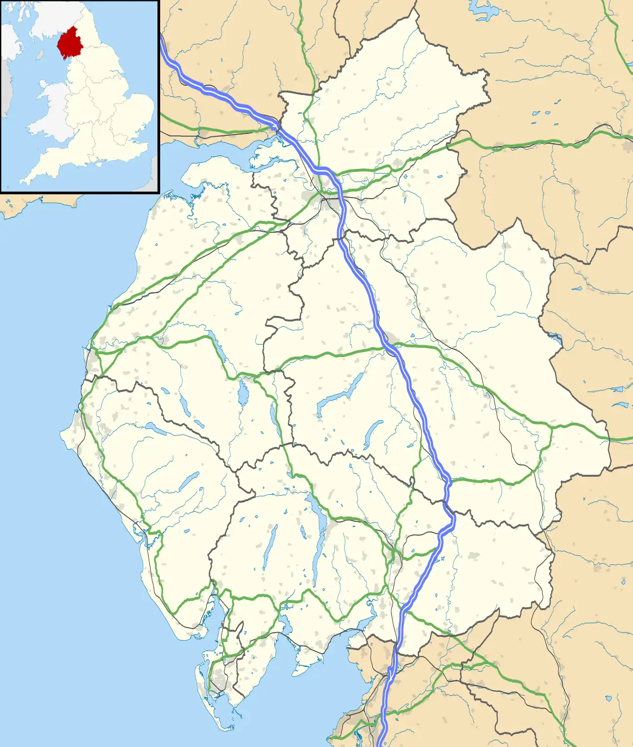
 Kaber Location within Cumbria | |
| Population | 89 (2001) |
| OS grid reference | NY7911 |
| Civil parish |
|
| District | |
| Shire county | |
| Region | |
| Country | England |
| Sovereign state | United Kingdom |
| Post town | KIRKBY STEPHEN |
| Postcode district | CA17 |
| Dialling code | 01768 |
| Police | Cumbria |
| Fire | Cumbria |
| Ambulance | North West |
| UK Parliament | |
Location and topography

The village is located about 2 miles (3.2 km) to the south of Brough. Until the latest boundary changes Kaber was situated in the historic county of Westmorland.
The place-name 'Kaber' is first attested in the Register of the Priory of Wetherhal, circa 1195, where it appears as Kaberge. The name means 'jackdaw hill'.[3]
The northern boundary of the civil parish is formed by the River Belah which rises near Kaber Fell to the southeast and flows just north of the village en route to joining the River Eden.
The population taken at the 2011 Census was less than 100. Parish record details are maintained in the adjacent parish of Winton.
See also
References
- Ordnance Survey: Landranger map sheet 91 Appleby-in-Westmorland (Brough & Kirkby Stephen) (Map). Ordnance Survey. 2014. ISBN 9780319231302.
- "Ordnance Survey Election Maps". www.ordnancesurvey.co.uk. Ordnance Survey. Retrieved 3 April 2016.
- Eilert Ekwall, The Concise Oxford Dictionary of English Place-names, p.269.
External links
- Cumbria County History Trust: Kaber (nb: provisional research only – see Talk page)
![]() Media related to Kaber, Cumbria at Wikimedia Commons
Media related to Kaber, Cumbria at Wikimedia Commons