Kärpf
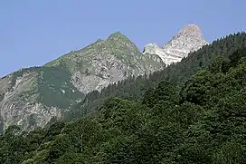
The Kärpf (or Chärpf) is a mountain in the Glarus Alps, at an elevation of 2,794 m (9,167 ft). The Kärpf is the highest point of the massif lying north of Richetli Pass (2,261 m or 7,418 ft). This range separates the two main valleys of Glarus: the main Linth valley with the village of Linthal on the west and the Sernftal with the village of Elm on the east.[2]
| Kärpf | |
|---|---|
 | |
| Highest point | |
| Elevation | 2,794 m (9,167 ft) |
| Prominence | 533 m (1,749 ft)[1] |
| Parent peak | Tödi |
| Coordinates | 46°55′0.4″N 9°5′35.3″E |
| Geography | |
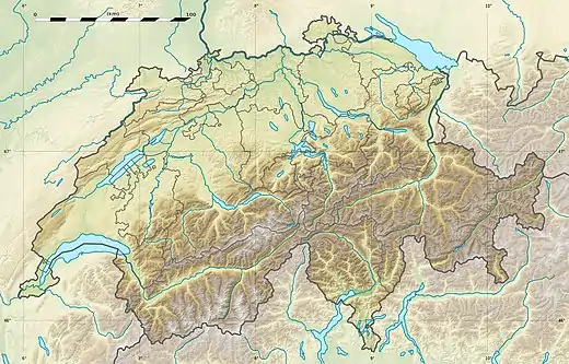 Kärpf Location in Switzerland | |
| Location | Glarus, Switzerland |
| Parent range | Glarus Alps |
On the north side of the Kärpf is located a small valley, which is occupied by a lake, the Garichtisee.
Administratively, the mountain lies in the municipality of Glarus Süd, in the canton of Glarus.[2]
References
- Retrieved from the Swisstopo topographic maps. The key col is the Richetliepass (2,261 m).
- map.geo.admin.ch (Map). Swiss Confederation. Retrieved 2015-06-09.
This article is issued from Wikipedia. The text is licensed under Creative Commons - Attribution - Sharealike. Additional terms may apply for the media files.