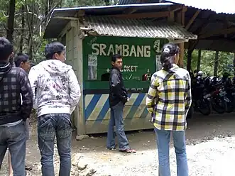
Jogorogo
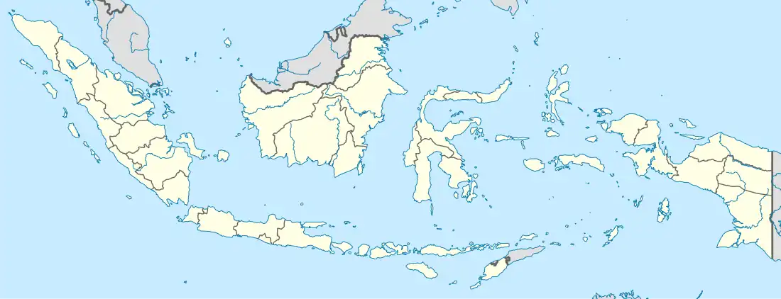
Jogorogo is a district (kecamatan) in Ngawi Regency, East Java Province, Indonesia.
Jogorogo District | |
|---|---|
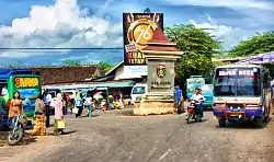 Jogorogo's Intersection | |
 Jogorogo District | |
| Coordinates: 7°31′17.9″S 111°15′07″E | |
| Country | |
| Province | East Java |
| Area | |
| • Total | 71.04 km2 (27.43 sq mi) |
| Elevation | 457 m (1,499 ft) |
| Population (mid 2022 estimate)[1] | |
| • Total | 42,868 |
| • Density | 600/km2 (1,600/sq mi) |
| Time zone | GMT +7 |
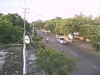
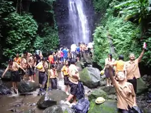
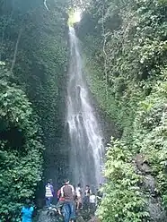
Geography
Jogorogo is part of Mount Lawu main system, which lies in northwest part of its slope.
|
See also
Wikimedia Commons has media related to Jogorogo.
References
- Badan Pusat Statistik, Jakarta, 2023.
This article is issued from Wikipedia. The text is licensed under Creative Commons - Attribution - Sharealike. Additional terms may apply for the media files.