Jens Munk Island
Jens Munk Island (Danish: Søren Norbyes Ø), uninhabited coastal island in eastern Greenland in the Sermersooq municipality. It is named after the Dano-Norwegian navigator and explorer Jens Munk. The island is the largest in the Søren Norby Islands archipelago.
Native name: Søren Norbyes Ø | |
|---|---|
.jpg.webp) Aerial view of Jens Munk Island (left), view to the south | |
Map of Jens Munk Island | |
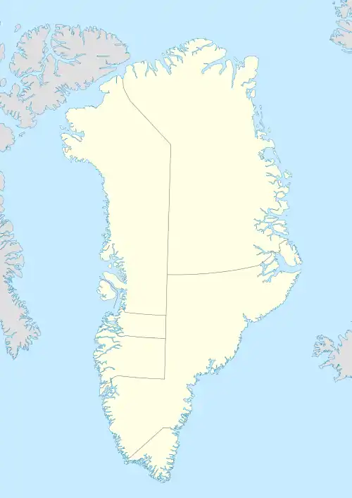
 Jens Munk Island Location of Jens Munk Island in Greenland | |
| Geography | |
| Location | Irminger Sea |
| Coordinates | 64°49′N 40°35′W |
| Archipelago | Søren Norby Islands |
| Adjacent to | North Atlantic Ocean |
| Area | 471 km2 (182 sq mi) |
| Area rank | 17th largest in Greenland |
| Length | 61 km (37.9 mi) |
| Width | 7.6 km (4.72 mi) |
| Coastline | 186 km (115.6 mi) |
| Highest elevation | 756 m (2480 ft) |
| Administration | |
| Municipality | Sermersooq |
| Demographics | |
| Population | 0 (2021) |
| Pop. density | 0/km2 (0/sq mi) |
| Ethnic groups | Inuit |
Geography
The island is located on the southern side of Pikiulleq Bay and north of the Fridtjof Nansen Peninsula, separated from the mainland by a 45 km long sound named Kagssortoq (Kattertooq), which has a width ranging between 0.7 and 6.5 km. The southern part of the island is covered by an ice cap.
The island has an area of 470.7 km ² and a shoreline of 185.9 kilometres.[1] Its southernmost point is Cape Lovelorn, projecting from a steep 280 m high headland at the northern limit of Umivik Bay.[2]
 Map of Greenland section. |
See also
References
- UNEP Archived 2016-04-19 at the Wayback Machine
- Prostar Sailing Directions 2005 Greenland and Iceland Enroute, p. 103