Immenberg
The Immenberg (also spelled Imebärg) is a mountain located between Thundorf and Stettfurt in the canton of Thurgau.
| Immenberg | |
|---|---|
| Imebärg | |
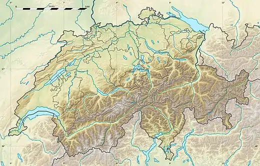 Immenberg Location in Switzerland | |
| Highest point | |
| Elevation | 706 m (2,316 ft) |
| Prominence | 198 m (650 ft)[1] |
| Coordinates | 47°31′51″N 8°58′36″E |
| Geography | |
| Location | Thurgau, Switzerland |
The summit forms a wooded plateau, which is traversed by several trails. On the south-west slopes of the mountain is located the Sonnenberg Castle.
References
- Retrieved from the Swisstopo topographic maps. The key col is located north of Märwil at 508 metres.
This article is issued from Wikipedia. The text is licensed under Creative Commons - Attribution - Sharealike. Additional terms may apply for the media files.