Hundred of Pichi Richi
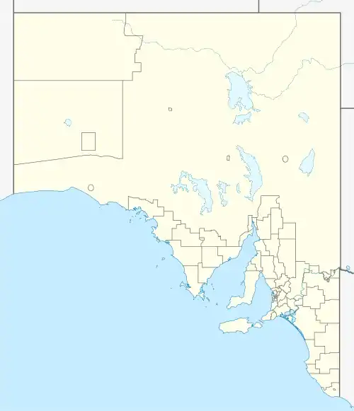
The Hundred of Pichi Richi is a cadastral hundred of the County of Newcastle in South Australia, and 293 m (961 ft) above sea level. It spans the eastern slopes of Dutchman Range and is centred on the township of Quorn.
| Pichi Richi South Australia | |||||||||||||||
|---|---|---|---|---|---|---|---|---|---|---|---|---|---|---|---|
.jpg.webp) Plan of the Hundred in 1884 | |||||||||||||||
 Pichi Richi | |||||||||||||||
| Coordinates | 32°20′37″S 138°00′05″E[1] | ||||||||||||||
| Area | 94 square miles (240 km2)[1] | ||||||||||||||
| LGA(s) | |||||||||||||||
| Region | Far North | ||||||||||||||
| County | Newcastle | ||||||||||||||
| |||||||||||||||
| Footnotes | Adjoining hundreds[1] | ||||||||||||||
The traditional owners of the area are the Ngadjuri people.[2] The first European explorer to the area was Thomas Burr in September 1842.
See also
References
- "Search results for 'Hundred of Pichi Richi, Hd' with the following datasets being selected - 'Counties', 'Hundreds', 'Local Government Areas', 'SA Government Regions', and 'Gazetteer'". Location SA Map Viewer. Government of South Australia. Retrieved 17 October 2022.
- "Ngadjuri". AusAnthrop Australian Aboriginal tribal database. Retrieved 16 March 2015.
This article is issued from Wikipedia. The text is licensed under Creative Commons - Attribution - Sharealike. Additional terms may apply for the media files.