Hollington, Hastings
Hollington is a council estate and local government ward in the northwest of Hastings, in the Hastings district, in the county of East Sussex, England. The area lies next to Baldslow, Ashdown, North and Conquest, and less than five miles southeast of Battle, East Sussex, the home of Battle Abbey, which commemorates the victory of William the Conqueror at the Battle of Hastings in 1066.
| Hollington | |
|---|---|
 St John the Evangelist Church near Hollington, East Sussex | |
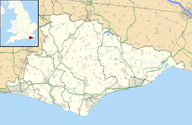
 Hollington Location within East Sussex | |
| Population | 6,099 (ward. 2011)[1] |
| District | |
| Shire county | |
| Region | |
| Country | England |
| Sovereign state | United Kingdom |
| Post town | ST. LEONARDS-ON-SEA |
| Postcode district | TN38 |
| Police | Sussex |
| Fire | East Sussex |
| Ambulance | South East Coast |
| UK Parliament | |
The area is believed to have been occupied since at least Roman times prior to becoming farmland and subsequently developed during the 1930s onwards.[2]
Hollington was the location of The Grove School, which was incorporated into The St Leonards Academy becoming known as the 'Darwell Campus'.[3] The school, which was constructed at the location of The Grove, the manor house for the Lords of the Manor of Hollington.[4][5] The Levett family built The Grove, and then the property was carried into the Eversfield family by a Levett heiress.[6][7][8] The eventual lord of the manor became Thomas Eversfield of Uckfield, bringing the Eversfield family from their early Sussex beginnings to the Hastings area, where they would go on to play a prominent role for centuries.[6] The Eversfields inherited when Levett heir Lawrence Levett died without issue, leaving his estate to his sister Mary (Levett) Eversfield, wife of Thomas Eversfield. Adam Ashburnham, ancestor of the Ashburnham baronets of Broomham and half-brother of Lawrence Levett, inherited some of their mother Eve Adams Levett Ashburnham's property at Guestling.[9][10] The school buildings were demolished circa 2017 and the land is earmarked for housing development.[11]
The Hollington Stream runs from Silverhill, through Hollington Wood towards the sea at Bulverhythe.
In 2016 new homes were constructed near Robsack Community centre.
Civil parish
In 1891 the parish had a population of 2056.[12] On 1 April 1934 the parish was abolished and split to "Hollington St. John" and Hollington Rural.[13]
Places of Worship
- St John The Evangelist Located in Upper Church Road
- Church in the Wood, Hollington
- Holy Redeemer Catholic Church
References
- "Hastings ward population 2011". Neighbourhood.statistics.gov.uk. Retrieved 6 October 2015.
- Historical Hastings Wiki: Category:Hollington - Historical Hastings Wiki, accessdate: 9 January 2020
- "The Hastings Academy, Hastings, East Sussex, UK – East Sussex County Council". Eastsussex.gov.uk. Retrieved 8 February 2016.
- Arnott, S. (1869). "Contributions Towards a Parochial History of Hollington". Sussex Archaeological Collections. 21: 149. doi:10.5284/1086303.
- "The Grove » history of the grove". Archived from the original on 12 January 2008. Retrieved 16 March 2008.
- Cooper, W. Durrant; Ross, T. (1862). "Notices of Hastings and its Municipal Rights". Sussex Archaeological Collections. 14: 111. doi:10.5284/1085251.
- Mark Antony Lower (1870). "A Compendious History of Sussex: Topographical, Archćological & Anecdotical ..." Books.google.com. p. 236. Retrieved 8 February 2016.
- "Square Toes and Formal" (PDF). Squaretoes.co.uk. Archived from the original (PDF) on 3 March 2016. Retrieved 8 February 2016.
- "Full text of "Notes of post mortem inquisitions taken in Sussex. 1 Henry VII, to 1649 and after. Abstracted and translated by F.W.T. Attree"". Archive.org. 14 February 1912. Retrieved 8 February 2016.
- Thomas Benolt; John Philipot; George Owen (1905). "The Visitations of the County of Sussex Made and Taken in the Years 1530". Books.google.com. p. 18. Retrieved 8 February 2016.
- Hastings Borough Council Planning
- "Population statistics Hollington AP/CP through time". A Vision of Britain through Time. Retrieved 4 February 2023.
- "Battle Registration District". UKBMD. Retrieved 4 February 2023.