Hintere Schwärze
Hintere Schwärze (German pronunciation: [ˈhɪntəʀə ˈʃvɛʁʦə] ⓘ; Italian: Cima Nera) is a mountain on the border between Austria and Italy. At 3,628 metres (11,903 ft), it is the fourth highest peak in the Ötztal Alps.[1]
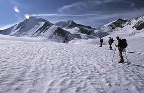
North face of Hintere Schwärze, June 2002
| Hintere Schwärze | |
|---|---|
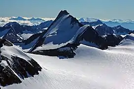 Hintere Schwarze in summer 2005 | |
| Highest point | |
| Elevation | 3,628 m (11,903 ft) |
| Prominence | 805 m (2,641 ft) |
| Parent peak | Weißkugel (Wildspitze) |
| Isolation | 12.93 km (8.03 mi) |
| Listing | Alpine mountains above 3000 m |
| Coordinates | 46°46′24″N 10°54′53″E |
| Geography | |
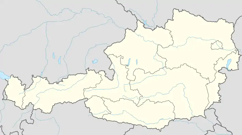
| Location | Tyrol, Austria / South Tyrol, Italy |
| Parent range | Ötztal Alps |
| Climbing | |
| First ascent | 10 Sep 1867 by E. Pfeiffer, B. Klotz, J. Scheiber |
| Easiest route | Glacier ascent over the west flank |
Hintere Schwärze
Location in Austria
This article is issued from Wikipedia. The text is licensed under Creative Commons - Attribution - Sharealike. Additional terms may apply for the media files.