Hangna
Hangna is a village in the Shan State of Myanmar. Hangna is close to the Salween River.[1] The nearest airport is Myitkyina which is located 64.7 km north of Hangna.[2] The elevation of Hangna is 2,070 feet (630 metres).
Hangna | |
|---|---|
Unincorporated Community | |
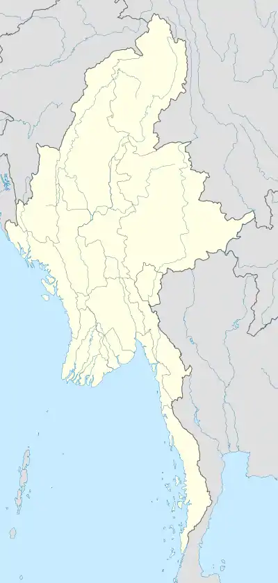 Hangna Location in Myanmar | |
| Coordinates: 20.41616°N 98.10026°E | |
| Country | |
| State | |
| Elevation | 631 m (2.070 ft) |
References
- "Mindat.org". www.mindat.org. Retrieved 2022-11-30.
- "Hangna (Myanmar) map - nona.net". nona.net. Retrieved 2022-11-30.
This article is issued from Wikipedia. The text is licensed under Creative Commons - Attribution - Sharealike. Additional terms may apply for the media files.