Hampstead, North Carolina
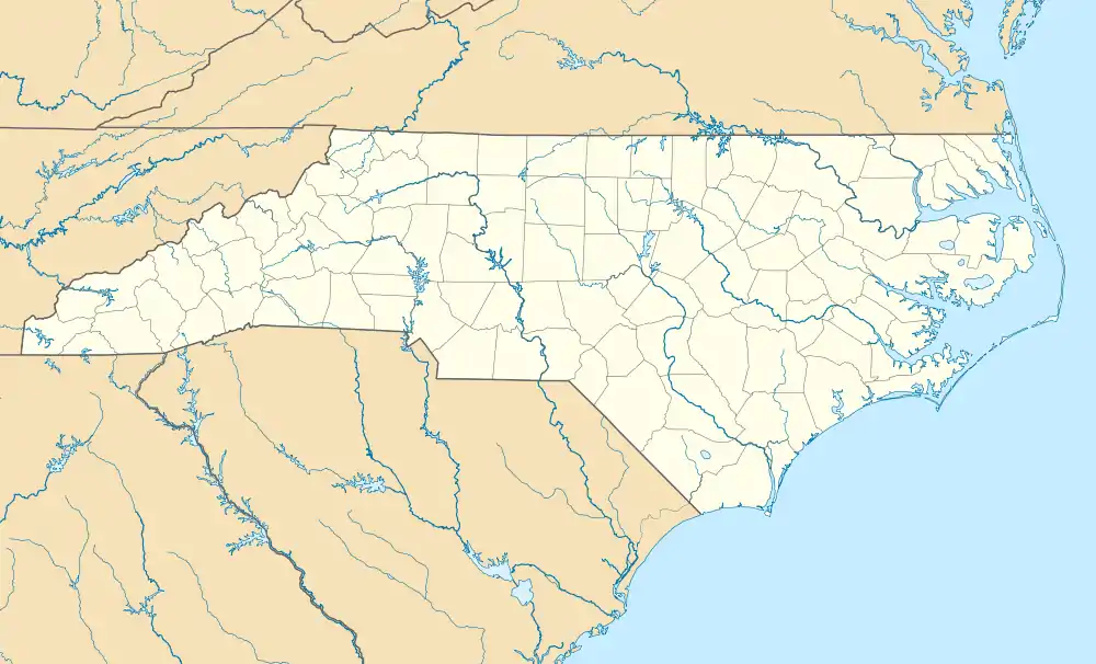
Hampstead is an unincorporated community and census-designated place (CDP) in Pender County, North Carolina, United States. It is located between Wilmington and Jacksonville on U.S. Route 17 and includes an area sized just over 20 square miles.[3]
Hampstead, North Carolina | |
|---|---|
 Hampstead, North Carolina | |
| Coordinates: 34°21′46″N 77°43′55″W | |
| Country | United States |
| State | North Carolina |
| County | Pender |
| Area | |
| • Total | 20.38 sq mi (52.78 km2) |
| • Land | 20.24 sq mi (52.42 km2) |
| • Water | 0.14 sq mi (0.36 km2) |
| Elevation | 46 ft (14 m) |
| Population (2020) | |
| • Total | 7,016 |
| • Density | 346.66/sq mi (133.85/km2) |
| • Summer (DST) | EDT |
| ZIP codes | 28443 |
| Area code | 910 |
| FIPS code | 37-29180 |
| GNIS feature ID | 2628632[2] |
| Website | hampsteadnc |
Hampstead is part of the Wilmington, NC Metropolitan Statistical Area.
History
Hampstead was named after Hampstead, in England.[4]
The Belvidere Plantation House was listed on the National Register of Historic Places in 1982.[5]
Demographics
2020 census
| Race | Number | Percentage |
|---|---|---|
| White (non-Hispanic) | 5,970 | 85.09% |
| Black or African American (non-Hispanic) | 214 | 3.05% |
| Native American | 27 | 0.38% |
| Asian | 55 | 0.78% |
| Pacific Islander | 4 | 0.06% |
| Other/Mixed | 317 | 4.52% |
| Hispanic or Latino | 429 | 6.11% |
| Census | Pop. | Note | %± |
|---|---|---|---|
| 2010 | 4,083 | — | |
| 2020 | 7,016 | 71.8% | |
| U.S. Decennial Census[7] | |||
As of the 2020 United States census, there were 7,016 people, 1,946 households, and 1,475 families residing in the CDP.
Schools
There are four elementary schools, North Topsail Elementary, South Topsail Elementary, Topsail Elementary, and Surf City Elementary. There are two middle schools named Topsail Middle School and Surf City Middle School and one high school, Topsail High School, which is located right next to Topsail Middle and within walking distance of the Hampstead Branch Library.
Public services
The Hampstead area is served by Pender EMS & Fire. Hampstead also has the Topsail Composite Squadron of the Civil Air Patrol. Hampstead is also served by the Pender County Sheriff’s Department.
References
- "ArcGIS REST Services Directory". United States Census Bureau. Retrieved September 20, 2022.
- U.S. Geological Survey Geographic Names Information System: Hampstead, North Carolina
- "Hampstead, NC - Community Info & Resources". Topsail Guide. Retrieved August 11, 2022.
- Gannett, Henry (1905). The Origin of Certain Place Names in the United States. Govt. Print. Off. pp. 148.
- "National Register Information System". National Register of Historic Places. National Park Service. July 9, 2010.
- "Explore Census Data". data.census.gov. Retrieved December 24, 2021.
- "Census of Population and Housing". Census.gov. Retrieved June 4, 2016.
