Halsafjord
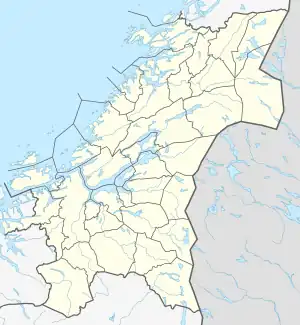
Halsafjord or Halsafjorden (English: Halsa Fjord)[1][2] is a fjord located between Heim Municipality (in Trøndelag county) and Tingvoll Municipality (in Møre og Romsdal county), Norway. The 15-kilometre (9.3 mi) long fjord branches south off the Vinjefjorden and stretches about 15 kilometres (9.3 mi) until it becomes the Trongfjorden off which the Surnadalsfjord later branches.[3]
| Halsafjorden | |
|---|---|
 View of the fjord | |
 Halsafjorden Location of the fjord  Halsafjorden Halsafjorden (Møre og Romsdal)  Halsafjorden Halsafjorden (Norway) | |
| Location | Trøndelag and Møre og Romsdal counties, Norway |
| Coordinates | 63.1158°N 8.1461°E |
| Type | Fjord |
| Basin countries | Norway |
| Max. length | 15 kilometres (9.3 mi) |
| Max. width | 6 kilometres (3.7 mi) |
The European route E39 highway crosses the fjord by a car ferry from Kanestraum in Tingvoll to Halsanaustan in Heim. Investigations are made regarding a bridge over the fjord. The length would be around 2–3 kilometres (1.2–1.9 mi). Since the depth is around 490 metres (1,610 ft), an advanced solution with a floating tower in the middle has been suggested.[4]
See also
References
- Andrews, John T. 1974. Glacial Isostasy. Stroudsburg, PA: Dowden, Hutchinson & Ross, p. 100.
- Loftas, Tony, & Julian Huxley. 1972. The Atlas of the Earth. London: Mitchell Beazley, p. 233.
- "Halsafjorden" (in Norwegian). yr.no. Retrieved 2010-12-02.
- E39 Halsafjorden, fjordkryssing
This article is issued from Wikipedia. The text is licensed under Creative Commons - Attribution - Sharealike. Additional terms may apply for the media files.