Gutin
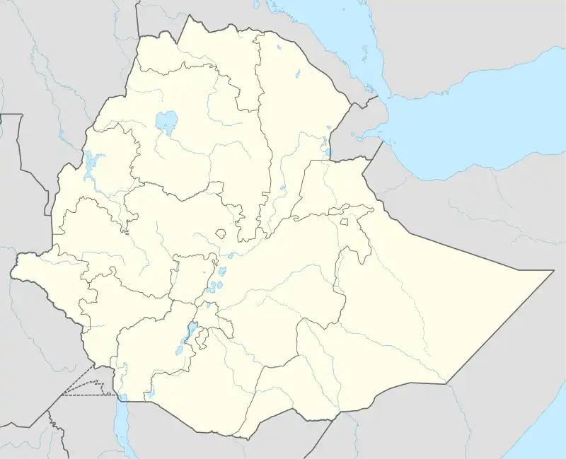
Gutin is a town in Gida Kiremu, East Welega Zone, Oromia Region, Ethiopia. The town is located to the north of Didesa River and west of Hanger Wenz River, with an elevation of 1,358 meters above the sea level.[1] As of 2022, it had a total population of 28,300.[2]
Gutin | |
|---|---|
Town | |
 Gutin | |
| Coordinates: 09°33′55″N 36°37′59″E | |
| Country | |
| Region | |
| Zone | East Welega |
| Woreda | Gida Kiremu |
| Elevation | 1,358 m (4,455 ft) |
| Population (2022) | |
| • Total | 28,300 |
| Time zone | UTC+3 (EAT) |
Climate
Gutin has a Tropical Savanna Climate (Aw). It receives the most precipitation in July, with an average rainfall of 366 mm; and the least precipitation in January, with an average rainfall of 1 mm.
| Climate data for Gutin | |||||||||||||
|---|---|---|---|---|---|---|---|---|---|---|---|---|---|
| Month | Jan | Feb | Mar | Apr | May | Jun | Jul | Aug | Sep | Oct | Nov | Dec | Year |
| Average high °C (°F) | 29.6 (85.3) |
31.3 (88.3) |
31.6 (88.9) |
30.7 (87.3) |
27.7 (81.9) |
24.8 (76.6) |
22.8 (73.0) |
22.7 (72.9) |
23.8 (74.8) |
25.2 (77.4) |
26.7 (80.1) |
28.1 (82.6) |
27.1 (80.8) |
| Daily mean °C (°F) | 23.1 (73.6) |
24.8 (76.6) |
25.2 (77.4) |
24.7 (76.5) |
22.3 (72.1) |
19.9 (67.8) |
18.7 (65.7) |
18.6 (65.5) |
19.1 (66.4) |
20.0 (68.0) |
20.9 (69.6) |
21.9 (71.4) |
21.6 (70.9) |
| Average low °C (°F) | 17.0 (62.6) |
18.6 (65.5) |
19.4 (66.9) |
19.5 (67.1) |
17.9 (64.2) |
16.0 (60.8) |
15.5 (59.9) |
15.4 (59.7) |
15.3 (59.5) |
15.5 (59.9) |
15.6 (60.1) |
16.2 (61.2) |
16.8 (62.3) |
| Average rainfall mm (inches) | 1 (0.0) |
3 (0.1) |
15 (0.6) |
51 (2.0) |
166 (6.5) |
327 (12.9) |
366 (14.4) |
350 (13.8) |
285 (11.2) |
108 (4.3) |
25 (1.0) |
5 (0.2) |
1,702 (67) |
| Source: Climate-Data.org[3] | |||||||||||||
References
- "Gutin topographic map, elevation, terrain". Topographic maps. Retrieved 19 June 2023.
- "Ethiopia: Regions, Major Cities & Towns - Population Statistics, Maps, Charts, Weather and Web Information". citypopulation.de. Retrieved 20 June 2023.
- "Gutin climate: Temperature Gutin & Weather By Month - Climate-Data.org". en.climate-data.org. Retrieved 19 June 2023.
This article is issued from Wikipedia. The text is licensed under Creative Commons - Attribution - Sharealike. Additional terms may apply for the media files.