Gangssibong
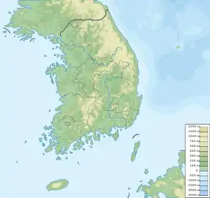
Gangssibong (Korean: 강씨봉) is a mountain in Gyeonggi-do, South Korea. Its sits on the boundary between the city of Pocheon and the county of Gapyeong. Gangssibong has an elevation of 830 m (2,723 ft).[1]
| Gangssibong | |
|---|---|
 Gangssibong | |
| Highest point | |
| Elevation | 830 m (2,720 ft) |
| Coordinates | 37.968772°N 127.38508°E |
| Geography | |
| Location | South Korea |
| Korean name | |
| Hangul | |
|---|---|
| Hanja | |
| Revised Romanization | Gangssibong |
| McCune–Reischauer | Kangssipong |
See also
Notes
- Yu 2007, p.38.
References
- Yu Jeong-yeol (2007). 한국의 산 여행 (Travel Guide to Korean Mountains). Seoul: 관동 상억연구회 (Kwandong). ISBN 978-89-958055-1-0.
This article is issued from Wikipedia. The text is licensed under Creative Commons - Attribution - Sharealike. Additional terms may apply for the media files.