Ganapavaram, Eluru district
Ganapavaram is a village in west godavari district of the Indian state of Andhra Pradesh.[1]
Ganapavaram | |
|---|---|
.svg.png.webp) Ganapavaram Location in Andhra Pradesh, India 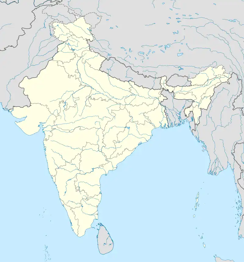 Ganapavaram Ganapavaram (India) | |
| Coordinates: 16.7000°N 81.4667°E | |
| Country | |
| State | Andhra Pradesh |
| District | Bhimavaram |
| Talukas | Ganapavaram |
| Elevation | 8 m (26 ft) |
| Population (2011) | |
| • Total | 11,749 |
| Languages | |
| • Official | Telugu |
| Time zone | UTC+5:30 (IST) |
| PIN | 534198 |
| 08818 | 8 km |
| Vehicle registration | AP |
Geography
The village is located at 16° 42' 0" North, 81° 28' 0" East. Ganapavaram is located at between the Tadepalligudem and Bhimavaram. It has an average elevation of 14 metres (46 ft).
Demographics
As of 2011 Census of India, Ganapavaram had a population of 11749. The total population constitute, 5779 males and 5790 females with a sex ratio of 1033 females per 1000 males. 996 children are in the age group of 0–6 years, with sex ratio of 1000. The average literacy rate stands at 79.02%.[2]
References
- "Mandal wise list of villages in West Godavari district" (PDF). Chief Commissioner of Land Administration. National Informatics Centre. Archived from the original (PDF) on 8 February 2015. Retrieved 8 March 2016.
- "Ganapavaram Population Census". Retrieved 17 May 2017.
This article is issued from Wikipedia. The text is licensed under Creative Commons - Attribution - Sharealike. Additional terms may apply for the media files.