Elizabeth City Regional Airport
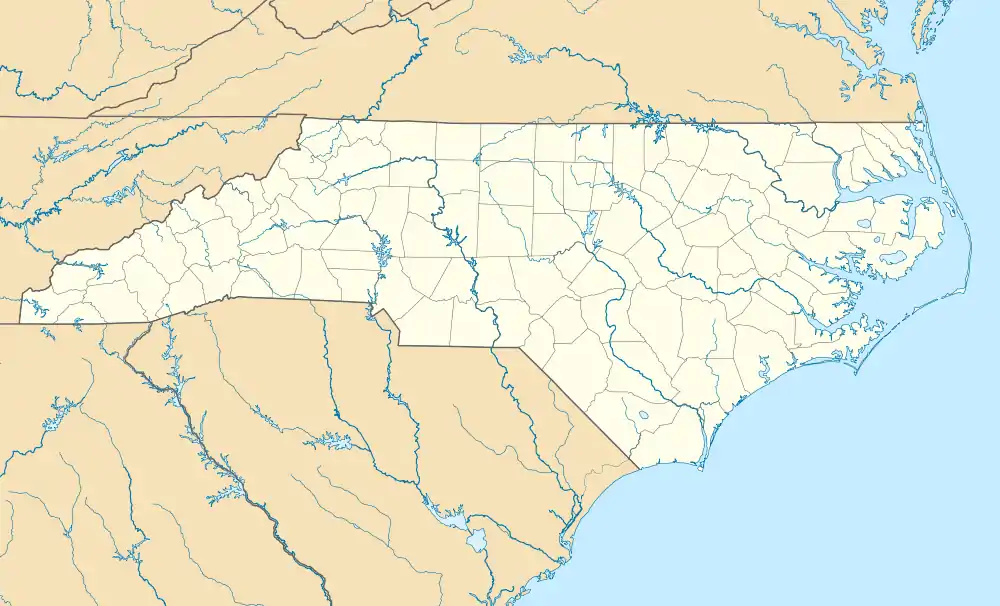
Elizabeth City Regional Airport (IATA: ECG, ICAO: KECG, FAA LID: ECG) is a joint civil-military public and military use airport located three nautical miles (6 km) southeast of the central business district of Elizabeth City, in Pasquotank County, North Carolina, United States.[1] The airport, on the shore of the Pasquotank River, is also known as Elizabeth City-Pasquotank County Regional Airport or ECG Regional Airport. It is included in the National Plan of Integrated Airport Systems for 2011–2015, which categorized it as a general aviation facility.[2]
Elizabeth City Regional Airport Coast Guard Air Station Elizabeth City | |||||||||||||||
|---|---|---|---|---|---|---|---|---|---|---|---|---|---|---|---|
 | |||||||||||||||
| Summary | |||||||||||||||
| Airport type | Public | ||||||||||||||
| Owner | US Coast Guard | ||||||||||||||
| Serves | Elizabeth City, North Carolina | ||||||||||||||
| Elevation AMSL | 12 ft / 4 m | ||||||||||||||
| Coordinates | 36°15′38″N 076°10′28″W | ||||||||||||||
| Map | |||||||||||||||
 ECG Location of airport in North Carolina | |||||||||||||||
| Runways | |||||||||||||||
| |||||||||||||||
| Statistics (2021) | |||||||||||||||
| |||||||||||||||
The airport opened in 1972 and is shared with and owned by the U.S. Coast Guard. The military portion of the facility, known as Coast Guard Base Elizabeth City and Coast Guard Air Station Elizabeth City, operates HC-130J Hercules and MH-60T Jayhawk aircraft.
Facilities and aircraft
Elizabeth City Regional Airport covers an area of 850 acres (344 ha) at an elevation of 12 feet (4 m) above mean sea level. It has two runways with asphalt and concrete surfaces: 10/28 is 7,219 by 150 feet (2,200 x 46 m) and 1/19 is 4,518 by 150 feet (1,377 x 46 m).[1]
For the year ending December 31, 2021, the airport had 55,765 aircraft operations, an average of 153 per day: 64% military, 35% general aviation, and <1% air taxi. At that time there were 102 aircraft based at this airport: 26 single-engine, 72 military, 3 multi-engine, and 1 helicopter.[1]
References
- FAA Airport Form 5010 for ECG PDF. Federal Aviation Administration. Effective July 13, 2023.
- "2011–2015 NPIAS Report, Appendix A" (PDF). National Plan of Integrated Airport Systems. Federal Aviation Administration. October 4, 2010. Archived from the original (PDF, 2.03 MB) on 2012-09-27.
External links

- Elizabeth City Regional Airport, official site
- "Elizabeth City CGAS/Regional Airport - ECG" (PDF). at North Carolina DOT airport guide
- Aerial image as of March 1993 from USGS The National Map
- FAA Airport Diagram (PDF), effective October 5, 2023
- FAA Terminal Procedures for ECG, effective October 5, 2023
- Resources for this airport:
- FAA airport information for ECG
- AirNav airport information for KECG
- ASN accident history for ECG
- FlightAware airport information and live flight tracker
- NOAA/NWS weather observations: current, past three days
- SkyVector aeronautical chart, Terminal Procedures