Eastmain River Airport
Eastmain River Airport (IATA: ZEM, ICAO: CZEM), is located 1 nautical mile (1.9 km; 1.2 mi) southwest of Eastmain, Quebec, Canada.
Eastmain River Airport | |||||||||||
|---|---|---|---|---|---|---|---|---|---|---|---|
| Summary | |||||||||||
| Airport type | Public | ||||||||||
| Operator | Transport Canada Cree Nation of Eastmain | ||||||||||
| Location | Eastmain, Quebec | ||||||||||
| Time zone | EST (UTC−05:00) | ||||||||||
| • Summer (DST) | EDT (UTC−04:00) | ||||||||||
| Elevation AMSL | 24 ft / 7 m | ||||||||||
| Coordinates | 52°13′35″N 078°31′21″W | ||||||||||
| Map | |||||||||||
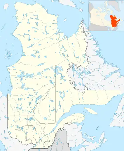 CZEM Location in Quebec 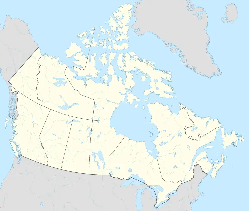 CZEM CZEM (Canada) | |||||||||||
| Runways | |||||||||||
| |||||||||||
| Statistics (2010) | |||||||||||
| |||||||||||
Airlines and destinations
| Airlines | Destinations |
|---|---|
| Air Creebec | Chibougamau, Chisasibi, Kuujjuarapik, Montreal–Trudeau, Nemaska, Val-d'Or, Waskaganish, Wemindji |
References
- Canada Flight Supplement. Effective 0901Z 16 July 2020 to 0901Z 10 September 2020.
- Total aircraft movements by class of operation
External links
- Page about this airport on COPA's Places to Fly airport directory
- Accident history for ZEM at Aviation Safety Network
- Past three hours METARs, SPECI and current TAFs for Eastmain River Airport from Nav Canada as available.
| By name | |
|---|---|
| By location indicator | |
| By province/territory | |
| By area | |
| National Airports System | |
| Related | |
| |
This article is issued from Wikipedia. The text is licensed under Creative Commons - Attribution - Sharealike. Additional terms may apply for the media files.