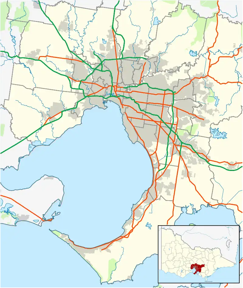
Keilor East, Victoria
Keilor East is a suburb in Melbourne, Victoria, Australia, 13 km (8.1 mi) north-west of Melbourne's Central Business District, located within the Cities of Brimbank and Moonee Valley local government areas. Keilor East recorded a population of 15,078 at the 2021 census.[1]
| Keilor East Melbourne, Victoria | |||||||||||||||
|---|---|---|---|---|---|---|---|---|---|---|---|---|---|---|---|
 Centreway, Keilor East | |||||||||||||||
 Keilor East | |||||||||||||||
| Coordinates | 37°44′30″S 144°51′47″E | ||||||||||||||
| Population | 15,078 (2021 census)[1] | ||||||||||||||
| • Density | 1,587/km2 (4,111/sq mi) | ||||||||||||||
| Postcode(s) | 3033 | ||||||||||||||
| Area | 9.5 km2 (3.7 sq mi) | ||||||||||||||
| Location | 13 km (8 mi) from Melbourne | ||||||||||||||
| LGA(s) | |||||||||||||||
| State electorate(s) | Niddrie | ||||||||||||||
| Federal division(s) | Maribyrnong | ||||||||||||||
| |||||||||||||||
Keilor East is bounded in the west by the Maribyrnong River in the City of Brimbank, in the north by the Calder Freeway, in the east by Hoffmans Road, and in the south by Buckley Street, Steele Creek and Rosehill Road.
History
Keilor East Post Office opened on 1 July 1947. This was renamed Niddrie in 1956, and a new Keilor East office opened in November 1957. Lincolnville Post Office on McFarlane Street opened in 1964 and closed in 1988.[2]
Keilor East was previously located in the former City of Keilor, though now sits partially in the City of Brimbank (west of the Albion-Jacana railway line) and the remainder in the City of Moonee Valley (east of the Albion-Jacana railway line).
Commerce
Keilor East contains the Milleara Shopping Centre (previously named and still commonly known as Milleara Mall), on the corner of Milleara Road and Buckley Street, as well as the small Centreway Shopping Centre and Dinah Parade shopping strip.
Centreway Shopping Centre's claim to fame is that it was the home of the original JB Hi-Fi store founded by John Barbuto.
Transport
East Keilor is served by five bus routes:
- 406: to Footscray, operated by CDC Melbourne[3]
- 407: Highpoint Shopping Centre – Avondale Heights, operated by CDC Melbourne[4]
- 465: Essendon station – Keilor Park, operated by Ryan Brothers Bus Service[5]
- 469: to Moonee Ponds Junction, operated by Kastoria Bus Lines[6]
- SmartBus 903: Altona station – Mordialloc, operated by Kinetic Melbourne[7]
Keilor East railway station is a proposed station on the proposed Melbourne Airport line.[8] This line will run to Melbourne Airport, and will open in 2029. There will be approximately a 27-minute travel time to the Melbourne CBD, via Sunshine and the Metro Tunnel.[9]
Large parts of the suburb are under the flight path of the nearby Melbourne Airport which is curfew-free.
Education
Keilor East has a public primary school, Keilor Heights Primary School, St. Peters School, a private primary school, a campus of the public secondary school Essendon Keilor College, and the senior campus of the private Uniting Church school Penleigh and Essendon Grammar School.
Keilor East had many more schools in the 1980s and 1990s, such as Lincolnville Primary School, Keilor South Primary School and Overland Primary School. Lincolnville and Keilor South merged in 1988 to form Rosehill Park Primary School (on the former Keilor South Primary School site). At the end of 1993, Rosehill Park and Overland were forced to close down by the State Liberal Government of Jeff Kennett, with Keilor Heights absorbing most of their students.
Notable people from Keilor East
- Shane Jacobson – of the movie Kenny and television shows Kenny's World and co-host of Top Gear Australia
- John Barbuto – founder of JB Hi-Fi
- Tina Arena – singer
- Damien Peverill – footballer
Sporting facilities
- East Keilor Football Club, an Australian Rules football team, competes in the Essendon District Football League.[10]
- East Keilor Cricket Club
- East Keilor Leisure Centre[11]
- St Peters Parish Tennis Club (closed)
- East Keilor Tennis Club.
See also
- City of Keilor – Keilor East was previously within this former local government area.
References
- Australian Bureau of Statistics (28 June 2022). "Keilor East (Suburbs and Localities)". 2021 Census QuickStats. Retrieved 19 July 2022.
- Premier Postal History, Post Office List, retrieved 21 July 2013
- "406 Keilor East - Footscray via Avondale Heights and Maribyrnong". Public Transport Victoria.
- "407 Highpoint SC - Avondale Heights via Maribyrnong". Public Transport Victoria.
- "465 Essendon Station - Keilor Park via East Keilor". Public Transport Victoria.
- "469 Moonee Ponds - Keilor East via Strathmore". Public Transport Victoria.
- "903 Altona - Mordialloc (SMARTBUS Service)". Public Transport Victoria.
- "New station at Keilor East". Victoria’s Big Build. 21 September 2022. Retrieved 21 September 2022.
- Build, Victoria’s Big (21 September 2022). "Melbourne Airport Rail overview". Victoria’s Big Build. Retrieved 21 September 2022.
- Full Points Footy, East Keilor, retrieved 15 April 2009
- "East Keilor Leisure Centre". Archived from the original on 25 July 2008. Retrieved 14 August 2008.