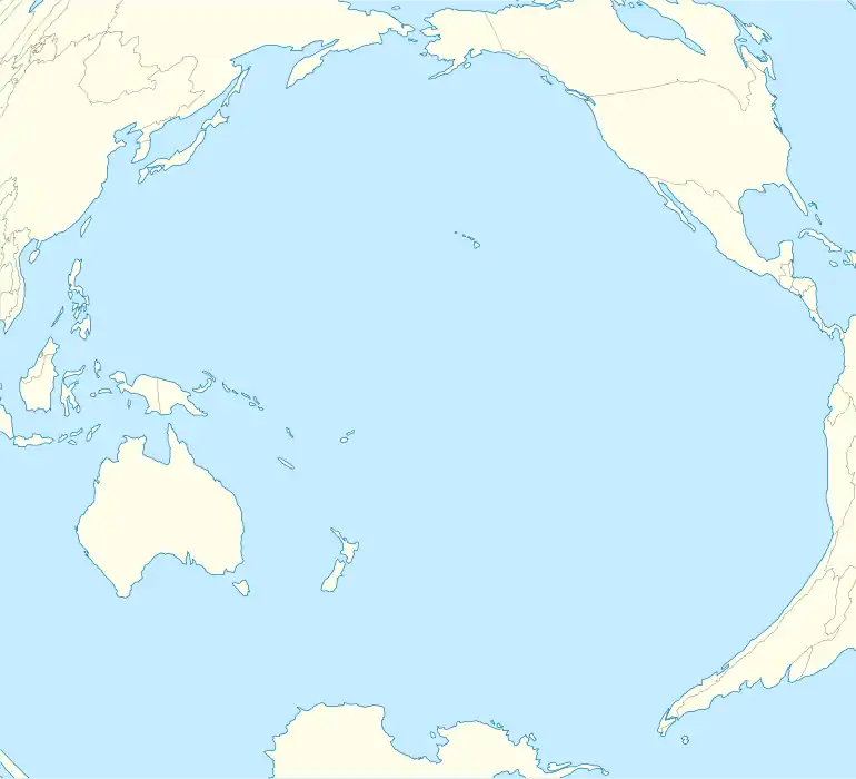
East Island, Hawaii
East Island is an island, formerly about 11 acres (45,000 m2) in area, one-half mile (800 m) long and 400 feet (120 m) wide, now greatly reduced in size.[1] It was the second-largest in the French Frigate Shoals, and is one of the Northwestern Hawaiian Islands, approximately 550 miles (890 km) northwest of Honolulu.[2] It was largely washed away in 2018 by the storm surge from Hurricane Walaka.[2][3] The remaining portion of the island above sea level consists of a sandy strip approximately 150 feet (46 m) long.[4]
 Satellite images of East Island, Hawaii, before (May 2018) and after (October 2018) Hurricane Walaka | |
 East Island | |
| Geography | |
|---|---|
| Location | Pacific Ocean |
| Coordinates | 23°47′14″N 166°12′35″W |
| Archipelago | French Frigate Shoals |
| Adjacent to | Pacific Ocean |
| Area | 11 acres (4.5 ha) |
| Length | 0.5 mi (0.8 km) |
| Width | 400 ft (120 m) |
| Country | United States |
| State | Hawaii |
| Demographics | |
| Population | 0 (since 1952) |
The island, a sand and gravel spit that formed part of the Papahānaumokuākea Marine National Monument, was a habitat for Hawaiian monk seals and green sea turtles, both of which are endangered species.[2] 96% of Hawaii's green sea turtles nest in the French Frigate Shoals, and over half of those were on East Island.[2] Charles Littnan, of the National Oceanic and Atmospheric Administration, described the island as "the most important single islet for [green] sea turtle nesting".[2]
During World War II a U.S. Coast Guard radio navigation station was built on East Island and operated from 1944 to 1952.[5]
In the 19th century, East Island was sometimes called "Turtle Island."[6]
History
The island was surveyed by the Tanager Expedition of 1923 and 1924.[7] At that time it was about 11 acres of land.[7]
In 1932 the USS Quail anchored near East Island, when it used its seaplane to take aerial photographs of the shoals.[8]
In 1935 a "tent city" was placed on East island to support Naval maneuvers in the region, which included exercises with ships and seaplanes.[7]
In October 1936, the USS Wright (AV-1) came to the shoals, and established a base on East island to support a month of seaplane operations.[9]
In July 1944 twenty-seven U.S. Coast Guard personnel moved onto East Island and established a Long-Range Navigation (LORAN) radio navigation station that was maintained from November 1944 to October 1952.[5][10] In April 1946 it was badly damaged by a tsunami, and in August 1950 it had to be evacuated due to a typhoon warning.[5] Facilities included 13 buildings including the LORAN building, which was for a radio system that supported ships and aircraft locating themselves at long distances.[7]
Buildings in the USCG LORAN facility included:[11]
- Commanding Officer (CO) quarters & recreational hall
- Two Barracks
- Mess Hall & Galley
- Generator Hut & Storeroom
- 2nd Generator Hut & Machine Shop
- LORAN Hut & Radio room
- Aerology Office
- Boatswain's Locker
- Distiller Shed
- Paint Locker
- Vehicle Shed
- Crew's Head (Bathroom hut)
Other structures on the island included water tanks, water pump, and the antennas.[11]
In the 1980s, it was noted as a pupping ground for monk seals.[12]
In the late 20th century it was known as a noted breeding ground for green sea turtles.[13] In 1997 it was reported to have over 500 turtle nests on the island.[6]
In 2018 most of the island above sea level was washed away by Hurricane Walaka.[13] The storm was a Category 4 storm at the time of its passage.[2]
In 2023, the island was noted to have stabilized enough to be camped again for research. The island is visited such as in 2023 by researchers investigating the status turtle breeding sites there. Because about half the island washed away in the aforementioned 2018 storm, the researchers had to camp on Tern island and take trips to East for their work.[14]
Gallery
.jpg.webp)
 A green sea turtle swimming above a Hawaiian coral reef
_(20157463550).jpg.webp) A Coast Guard LORAN base on East Island in 1945
A Coast Guard LORAN base on East Island in 1945
See also
References
- Milman, Oliver (October 24, 2018). "Hawaiian island erased by powerful hurricane: 'The loss is a huge blow'". the Guardian. Retrieved October 29, 2018.
- Eagle, Nathan (October 23, 2018). "This Remote Hawaiian Island Just Vanished". Honolulu Civil Beat. Retrieved October 23, 2018.
- D'Angelo, Chris (23 October 2018). "Remote Hawaiian Island Wiped Off The Map". Huffington Post. Retrieved 23 October 2018.
- "Hurricane largely destroys remote Hawaiian island". Columbus Dispatch. November 4, 2018. Archived from the original on November 29, 2018. Retrieved September 11, 2022.
- "LORAN Station French Frigate Shoals". LORAN History. Archived from the original on 2012-09-23. Retrieved 2018-08-10.
- Isles of Refuge: Wildlife and History of the Northwestern Hawaiian Islands. University of Hawaii Press. November 2000. ISBN 9780824823306.
- "Story Map Journal".
- THE NATURAL HISTORY OF FRENCH FRIGATE SHOALS, NORTHWESTERN HAWAIIAN ISLANDS Page 44
- Dictionary of American Naval Fighting Ships. Naval Historical Center, Department of the Navy. 1991. ISBN 9780160020551.
- Rauzon, Mark J. (2000-11-01). Isles of Refuge: Wildlife and History of the Northwestern Hawaiian Islands. University of Hawaii Press. ISBN 978-0-8248-2330-6.
- Page 18
- Collected Reprints. [National Oceanic and Atmospheric Administration], National Marine Fisheries Service, Southwest Fisheries Center. 1990.
- "National Geographic Society Newsroom". 29 August 2023.
- "Return to Lalo: Turtle and Seal Biologists Deploy to Papahānaumokuākea for the 2023 Field Season | NOAA Fisheries". 15 June 2023.
