Draka Nunatak
Draka Nunatak (Bulgarian: нунатак Драка, ‘Nunatak Draka’ \'nu-na-tak 'dra-ka\) is the lens-shaped rocky ridge extending 4.2 km and 1.9 km wide, with twin heights rising to 831 m (central one) and 889 m (western one)[1] on the southwest coast of Sjögren Inlet on southern Trinity Peninsula in Graham Land, Antarctica.
The feature is named after the settlements of Draka and Drakata in Southeastern and Southwestern Bulgaria respectively.
Location
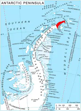
Draka Nunatak is centred at 64°15′06″S 59°10′06″W, which is 6.32 km south-southwest of Vetrovala Peak, 15.48 km west-southwest of Mount Wild, 38 km north of Cape Longing, 24.13 km east-northeast of Dolen Peak and 10.74 km southeast of Mount Hornsby.
Maps
- Trinity Peninsula. Scale 1:250000 topographic map No. 5697. Institut für Angewandte Geodäsie and British Antarctic Survey, 1996.
- Antarctic Digital Database (ADD). Scale 1:250000 topographic map of Antarctica. Scientific Committee on Antarctic Research (SCAR). Since 1993, regularly updated.
Notes
- Reference Elevation Model of Antarctica. Polar Geospatial Center. University of Minnesota, 2019
References
- Draka Nunatak. SCAR Composite Antarctic Gazetteer.
- Bulgarian Antarctic Gazetteer. Antarctic Place-names Commission. (details in Bulgarian, basic data in English)
External links
- Draka Nunatak. Copernix satellite image
This article includes information from the Antarctic Place-names Commission of Bulgaria which is used with permission.