Dos Marmelos River
Dos Marmelos River (Portuguese: Rio dos Marmelos) is a river of Amazonas state in north-western Brazil. It is a tributary of the Madeira River, and merges into this river about 80 km (50 mi) upstream from the town of Manicoré.
| Dos Marmelos River | |
|---|---|
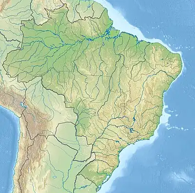 | |
| Native name | Rio dos Marmelos (Portuguese) |
| Location | |
| Country | Brazil |
| Physical characteristics | |
| Source | |
| • location | Campos Amazônicos National Park, Amazonas |
| • coordinates | 8°39′4.806″S 61°58′22.0944″W |
| • elevation | 120 m (390 ft) |
| Mouth | |
• location | Madeira |
• coordinates | 6.147621°S 61.786841°W |
• elevation | 30 m (98 ft) |
| Length | 510 km (320 mi)[1] |
| Basin size | 27,572.2 km2 (10,645.7 sq mi)[2] |
| Discharge | |
| • location | Confluence of Madeira, Amazonas |
| • average | 1,556.5 m3/s (54,970 cu ft/s)[2] |
| Basin features | |
| River system | Madeira River |
| Tributaries | |
| • left | Preto, Maici |
| • right | Branco, Sepoti |
The headwaters of the river are in the Campos Amazônicos National Park, a 961,318 hectares (2,375,470 acres) protected area created in 2006 that holds an unusual enclave of cerrado vegetation in the Amazon rainforest.[3]
See also
References
- Ziesler, R.; Ardizzone, G.D. (1979). "Amazon River System". The Inland waters of Latin America. Food and Agriculture Organization of the United Nations. ISBN 92-5-000780-9. Archived from the original on 21 October 2013.
- "Amazon basin water resources observation service".
- Unidade de Conservação: Parque Nacional dos Campos Amazônicos (in Portuguese), MMA: Ministério do Meio Ambiente, retrieved 2016-06-03
This article is issued from Wikipedia. The text is licensed under Creative Commons - Attribution - Sharealike. Additional terms may apply for the media files.