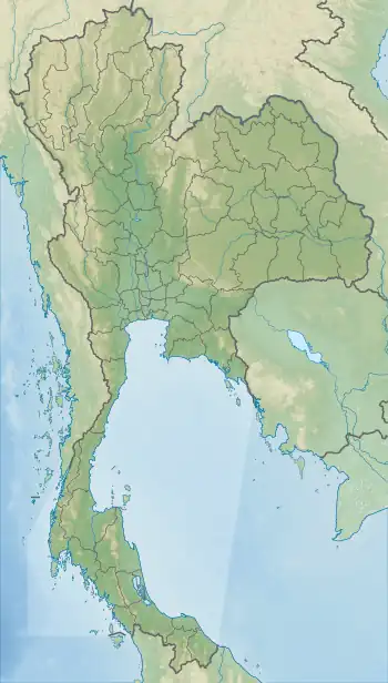
Doi Ian
Doi Ian (Thai: ดอยเอียน) is a mountain in Thailand, part of the Phi Pan Nam Range, at the southeastern end of Chiang Rai Province limit near the point where the limit of this province meets with the northern end of Phayao Province, nine km from the border with Laos.[3]
| Doi Ian | |
|---|---|
| ดอยเอียน | |
 Doi Ian from Tap Tao, east of Thoeng | |
| Highest point | |
| Elevation | 1,174 m (3,852 ft)[1] |
| Listing | List of mountains in Thailand |
| Coordinates | 19°42′12″N 100°19′19″E[2] |
| Geography | |
 Doi Ian | |
| Parent range | Phi Pan Nam Range |
| Climbing | |
| First ascent | unknown |
| Easiest route | drive from Thoeng, then hike |
Location
This mountain rises in Ngao Subdistrict, Thoeng District. Its summit is 12 km east of Thoeng, near Ngao east of the road going from it to Wiang Kaen town.
With a height of 1,174 metres Doi Ian is a conspicuous mountain in the surrounding landscape that can be seen from quite a distance over the plains near Thoeng town.
Climate
| Doi Ian | ||||||||||||||||||||||||||||||||||||||||||||||||||||||||||||
|---|---|---|---|---|---|---|---|---|---|---|---|---|---|---|---|---|---|---|---|---|---|---|---|---|---|---|---|---|---|---|---|---|---|---|---|---|---|---|---|---|---|---|---|---|---|---|---|---|---|---|---|---|---|---|---|---|---|---|---|---|
| Climate chart (explanation) | ||||||||||||||||||||||||||||||||||||||||||||||||||||||||||||
| ||||||||||||||||||||||||||||||||||||||||||||||||||||||||||||
| ||||||||||||||||||||||||||||||||||||||||||||||||||||||||||||
References
- Google Earth
- Google Earth
- "Doi Ian". Mapcarta. Retrieved 21 October 2017.
- "NASA Earth Observations Data Set Index". NASA. Retrieved 30 January 2016.
External links
This article is issued from Wikipedia. The text is licensed under Creative Commons - Attribution - Sharealike. Additional terms may apply for the media files.