Doda, Punjab
Doda is a village-city in the Sri Muktsar Sahib district of Punjab, India.
Doda | |
|---|---|
town | |
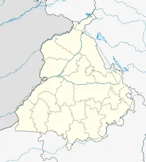 Doda Location in Punjab, India 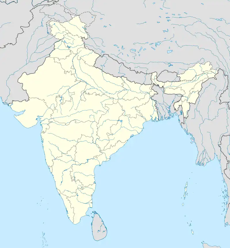 Doda Doda (India) | |
| Coordinates: 30°23′04″N 74°38′22″E | |
| Country | |
| State | Punjab |
| Region | Punjab |
| District | Sri Muktsar Sahib |
| Elevation | 186 m (610 ft) |
| Population (2001) | |
| • Total | 11,529 |
| Languages | |
| • Official | Punjabi (Gurmukhi) |
| • Regional | Punjabi |
| Time zone | UTC+5:30 (IST) |
| PIN | |
| Telephone code | 01637-27**** |
| Nearest city | Sri Muktsar Sahib |
| Sex ratio | 1000/907 ♂/♀ |
Geography
Doda is situated at 30°23′04″N 74°38′22″E, in the Sri Muktsar Sahib district of Indian Punjab, having an average elevation of 186 metres (610 ft).[3] The city and district of Bathinda lies in its east, Sri Muktsar Sahib in north-west and Faridkot district in the north. Doda was a jagir ruled by Randhawa Jats.
Demographics
In 2001, as of census, Doda had the total population of 11,529 with 1,951 households, 6,045 males and 5,484 females.[4] Thus males constitutes nearly 52% and females 48% of the population with the sex ratio of 907 females per thousand males.
.jpg.webp)
Entrance of Govt. Senior Secondary School Doda (Sri Muktsar Sahib)
References
- "Muktsar district PIN codes and Zip codes". www.athithy.com. Retrieved 13 January 2012.
- "Doda, Punjab PIN code". www.pincode.net.in. Retrieved 13 January 2012.
- "Doda - hour by hour forecast details". www.yr.no. Retrieved 13 January 2012.
- "Doda, 2001 population". Government of India. www.censusindia.gov.in. 2001. Retrieved 13 January 2012.
This article is issued from Wikipedia. The text is licensed under Creative Commons - Attribution - Sharealike. Additional terms may apply for the media files.