Cotaxtla
Cotaxtla is a town and municipality in the Mexican state of Veracruz. It is located 45 km from the city of Veracruz on Federal Highway 180.
Cotaxtla | |
|---|---|
Municipality and town | |
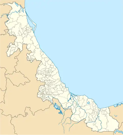 Cotaxtla Location in Mexico 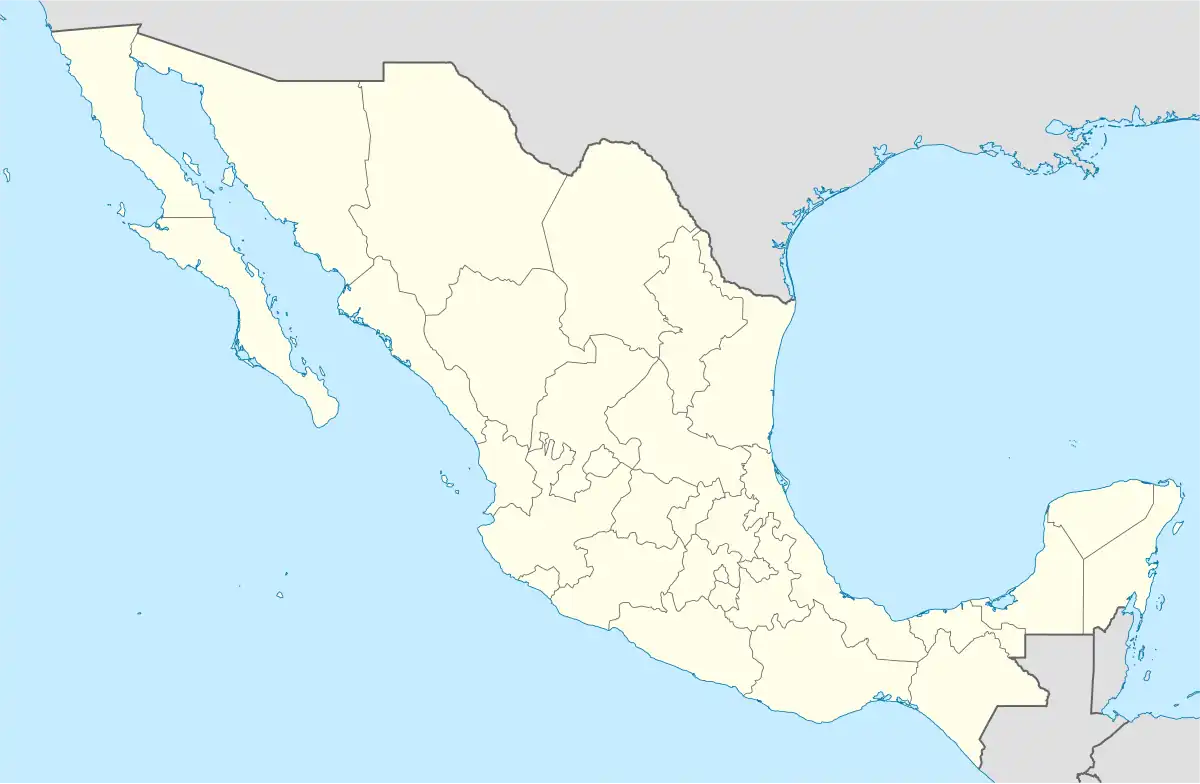 Cotaxtla Cotaxtla (Mexico) | |
| Coordinates: 18°50′N 96°23′W | |
| Country | |
| State | Veracruz |
| Region | Sotavento Region |
| Government | |
| • Mayor | José Santurino Beltrán Vásquez (PAN) |
| Area | |
| • Total | 537.8 km2 (207.6 sq mi) |
| Elevation | 18 m (59 ft) |
| Population (2020) | |
| • Total | 22,050 |
| • Density | 41/km2 (110/sq mi) |
| • Seat | 1,316 |
| Time zone | UTC-6 (Central (US Central)) |
| • Summer (DST) | UTC-5 (Central) |
| Postal code (of seat) | 94990 |
| Climate | Aw |
| Website | (in Spanish) Municipal Official Site |
| Year | Pop. | ±% |
|---|---|---|
| 1995 | 18,179 | — |
| 2000 | 18,920 | +4.1% |
| 2005 | 18,821 | −0.5% |
| 2010 | 19,710 | +4.7% |
| 2015 | 21,013 | +6.6% |
| 2020 | 22,050 | +4.9% |
| [1] | ||
Demographics
As 2020, the municipality had a population of 22,050 inhabitants in 209 localities.[1] Cotaxtla, the municipal seat had a population of 1,316 inhabitants as 2020, other localities includes La Tinaja (1,918 hab.), La Capilla (1,496 hab.), Colonia Ejidal (1,160 hab.) and Mata Tejón (612).[1]
History
In September 2010, the city suffered widespread damage from Hurricane Karl which inundated the area with floods up to 12 m (39 ft) deep.
References
- "Censo Cotaxtla 2020" (PDF) (in Spanish). Retrieved August 1, 2023.
This article is issued from Wikipedia. The text is licensed under Creative Commons - Attribution - Sharealike. Additional terms may apply for the media files.