Clifton, Northumberland
Clifton is a hamlet in Northumberland, in England.[1][2] The population is between 20 and 30. It is situated a short distance to the south of Morpeth, on the A1. It forms a trio with Hepscott and Glororum, a series of farms founded by the Brown brothers at the end of the 19th century. However, Clifton as a habitation stretches back earlier. In the 12th century lands were held at Clifton, under Roger de Merlay, by William of Clifton.[3] There was a coaching inn here dating from the 17th century.
| Clifton | |
|---|---|
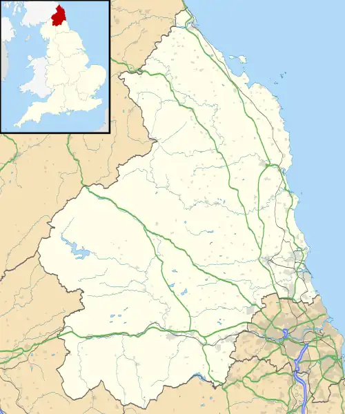 Clifton Location within Northumberland | |
| OS grid reference | NZ205825 |
| Unitary authority | |
| Ceremonial county | |
| Region | |
| Country | England |
| Sovereign state | United Kingdom |
| Post town | MORPETH |
| Postcode district | NE61 |
| Dialling code | 01670 |
| Police | Northumbria |
| Fire | Northumberland |
| Ambulance | North East |
| UK Parliament | |
Governance
Clifton is in the parliamentary constituency of Hexham. It is part of Stannington Civil Parish.
References
- Ordnance Survey: Landranger map sheet 81 Alnwick & Morpeth (Rothbury & Amble) (Map). Ordnance Survey. 2014. ISBN 9780319242094.
- "Ordnance Survey: 1:50,000 Scale Gazetteer" (csv (download)). www.ordnancesurvey.co.uk. Ordnance Survey. 1 January 2016. Retrieved 18 February 2016.
- "Clifton, Northumberlanf". Co-Curate. Archived from the original on 29 September 2020. Retrieved 27 November 2019.
External links
Wikimedia Commons has media related to Clifton, Northumberland.
This article is issued from Wikipedia. The text is licensed under Creative Commons - Attribution - Sharealike. Additional terms may apply for the media files.