Chila (Castilla)
Chila is a mountain in the Chila mountain range in the Andes of Peru, about 5,654 m (18,550 ft) high. It is located in the Arequipa Region, Castilla Province, on the border of the districts of Chachas and Choco. Chila lies north of Chuqi Pirwa.[2]
| Chila | |
|---|---|
 The Colca River and Chila north of it (upper left) as seen from the ISS | |
| Highest point | |
| Elevation | 5,654 m (18,550 ft)[1] |
| Coordinates | 15°24′23″S 72°9′59″W |
| Geography | |
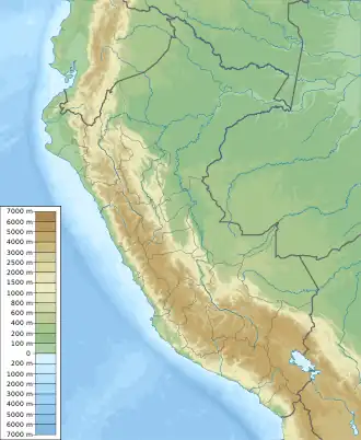 Chila Peru | |
| Location | Peru, Arequipa Region, Castilla Province |
| Parent range | Andes, Chila |
| Climbing | |
| First ascent | 1941[1] |
See also
References
- Taken from Mountaineering in the Andes by Jill Neate RGS-IBG Expedition Advisory Centre, 2nd edition, May 1994
- escale.minedu.gob.pe - UGEL map of the Caylloma Province 1 (Arequipa Region)
This article is issued from Wikipedia. The text is licensed under Creative Commons - Attribution - Sharealike. Additional terms may apply for the media files.