Chemish Ridge
Chemish Ridge (Bulgarian: хребет Чемиш, ‘Hrebet Chemish’ \'hre-bet 'che-mish\) is the rocky ridge extending 8.55 km in west-northwest to east-southeast direction, 2 km wide and rising to 880 m[1] on Foyn Coast, Antarctic Peninsula. The ridge surmounts Attlee Glacier to the north and Bevin Glacier to the south, with its east extremity forming Fitzmaurice Point.
The feature is named after the settlement of Chemish in Northwestern Bulgaria.
Location
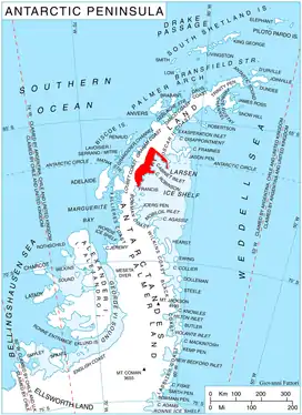
Chemish Ridge is located at 66°15′17″S 63°46′12″W, which is 6.55 km southeast of Meda Nunatak, 13.15 km southwest of Bastion Peak and 9.52 km northeast of Gluhar Hill. British mapping in 1974.
Maps
- British Antarctic Territory: Graham Land. Scale 1:250000 topographic map. BAS 250 Series, Sheet SQ 19–20. London, 1974.
- Antarctic Digital Database (ADD). Scale 1:250000 topographic map of Antarctica. Scientific Committee on Antarctic Research (SCAR). Since 1993, regularly upgraded and updated.
Notes
- Reference Elevation Model of Antarctica. Polar Geospatial Center. University of Minnesota, 2019
References
- Chemish Ridge. SCAR Composite Antarctic Gazetteer.
- Bulgarian Antarctic Gazetteer. Antarctic Place-names Commission. (details in Bulgarian, basic data in English)
External links
- Chemish Ridge. Copernix satellite image
This article includes information from the Antarctic Place-names Commission of Bulgaria which is used with permission.