Cay Sal Airport
Cay Sal Airport (ICAO: MYCS) was an airport located on Cay Sal, the Bahamas. The airstrip which was built there during WWII is now abandoned according to aerial imagery.
Cay Sal Airport | |||||||||||
|---|---|---|---|---|---|---|---|---|---|---|---|
| Summary | |||||||||||
| Airport type | Private | ||||||||||
| Serves | Cay Sal | ||||||||||
| Location | Cay Sal Bank, Bahamas | ||||||||||
| Elevation AMSL | 5 ft / 2 m | ||||||||||
| Coordinates | 23°42′42″N 80°24′48″W | ||||||||||
| Map | |||||||||||
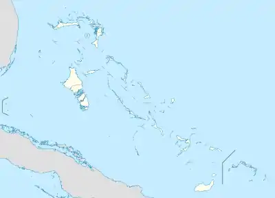 MYCS Location of Cay Sal Airport in the Bahamas | |||||||||||
| Runways | |||||||||||
| |||||||||||
See also
References
- Airport record for Cay Sal Airport at Landings.com. Retrieved 2013-08-08
- Google (2013-08-08). "location of Cay Sal Airport" (Map). Google Maps. Google. Retrieved 2013-08-08.
This article is issued from Wikipedia. The text is licensed under Creative Commons - Attribution - Sharealike. Additional terms may apply for the media files.