Cape Nansen
Cape Nansen (Danish: Kap Nansen) is a headland in the Greenland Sea, east Greenland, Sermersooq municipality. This cape is named after Fridtjof Nansen. Cape Nansen is an important geographical landmark.
Cape Nansen
Kap Nansen | |
|---|---|
 Cape Nansen | |
| Coordinates: 68°13′45″N 29°25′30″W | |
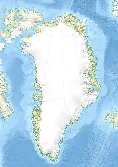
| Location | Sermersooq, Greenland |
| Offshore water bodies | Greenland Sea |
| Area | |
| • Total | Arctic |
Geography
Cape Nansen is located to the northeast of the mouth of the Nansen Fjord in an indented area of the eastern Greenland coast where there is a succession of headlands with active glaciers in between.[1] The cape lies 15 km to the east-northeast of the mighty Cape J.A.D. Jensen on Sokongen Island[2]
This headland has been defined by the International Hydrographic Organization as the Southwest limit of the Greenland Sea, which is a line joining Cape Nansen with Straumnes, Iceland, the NW point of Iceland.[3]
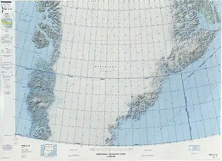 Map of Greenland section. |
References
- Prostar Sailing Directions 2005 Greenland and Iceland Enroute, p. 110
- "Kap Nansen". Mapcarta. Retrieved 10 April 2016.
- "Limits of Oceans and Seas, 3rd edition". International Hydrographic Organization. 1953.
{{cite web}}: Missing or empty|url=(help)
External links
This article is issued from Wikipedia. The text is licensed under Creative Commons - Attribution - Sharealike. Additional terms may apply for the media files.