Cape Desolation
Cape Desolation (Danish: Kap Desolation, Greenlandic: Kitdlavât Nûgâtsiât), also known as 'Cape Brill', is a headland in southwest Greenland in the Kujalleq municipality.
Cape Desolation
Kap Desolation | |
|---|---|
 Cape Desolation | |
| Coordinates: 60°44′02″N 48°10′26″W | |
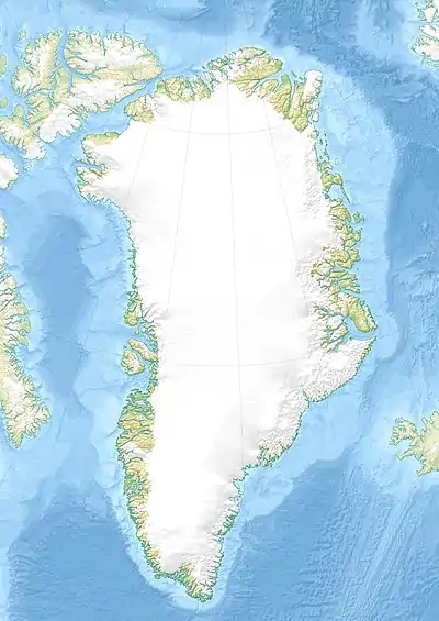
| Location | Kujalleq, Greenland |
| Offshore water bodies | Labrador Sea |
| Native name | Kitdlavât Nûgâtsiât (Greenlandic) |
| Area | |
| • Total | Arctic |
| Elevation | 600 |
Geography
The cape is located 16.66 km to the west-north-west of Cape Thorvaldsen near the modern settlements of Arsuk and Ivittuut.[1] The cape is in an impressive stack of jagged cliffs with the reddish crags of the Killavaat mountain range in the background.[2] The Outer Kitsissut (Torstein Islands) lie 9.5 km west-north-west of the cape.
References
- Kap Desolation
- Prostar Sailing Directions 2005 Greenland and Iceland Enroute, p. 25
This article is issued from Wikipedia. The text is licensed under Creative Commons - Attribution - Sharealike. Additional terms may apply for the media files.