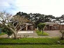
La Coronilla
La Coronilla is a village in the Rocha Department of southeastern Uruguay.
La Coronilla | |
|---|---|
Village | |
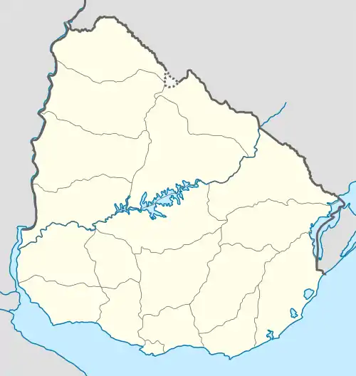 La Coronilla Location in Uruguay | |
| Coordinates: 33°54′0″S 53°31′0″W | |
| Country | |
| Department | Rocha Department |
| Population (2011) | |
| • Total | 510 |
| Time zone | UTC -3 |
| Postal code | 27201 |
| Dial plan | +598 4476 (+4 digits) |
| Climate | Cfa |
Geography
The village is located on the Atlantic coast on Route 9, about 23 kilometres (14 mi) south of Chuy and the border with Brazil. Across Route 9, as a western extension of the village is the hamlet Capacho and as a northern extension the neighbourhood Barrio Pereira. Together they form a populated centre of 1,153 inhabitants, according to the 2011 census.[1]
History
On 13 November 1951, the populated nucleus previously named "Las Maravillas" was renamed and its status was elevated to "Pueblo" (village) by the Act of Ley Nº 11.763.[2]
Population
In 2011 La Coronilla had a population of 510.[1]
| Year | Population |
|---|---|
| 1963 | 488 |
| 1975 | 626 |
| 1985 | 593 |
| 1996 | 586 |
| 2004 | 541 |
| 2011 | 510 |
Source: Instituto Nacional de Estadística de Uruguay[3]
According to the 2011 census, Capacho had a population of 457 and Barrio Pereira of 186.
References
- "Censos 2011 Rocha (needs flash plugin)". INE. 2012. Archived from the original on 11 November 2012. Retrieved 5 September 2012.
- "LEY N° 11.763". República Oriental del Uruguay, Poder Legislativo. 1951. Archived from the original on 4 March 2016. Retrieved 5 September 2012.
- "Statistics of urban localities (1963–2004)". INE. 2012. Archived from the original (PDF) on 23 March 2015. Retrieved 5 September 2012.
External links
- INE map of Capacho, Barrio Pereira and La Coronilla
- Article on La Coronilla, Official Portal of the Uruguayan Government
| Resorts and Landforms |
|
|---|---|
| |
Capital: Rocha | ||
| Towns and villages | 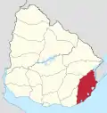 | |
| Sights |
| |