Caaguazú District
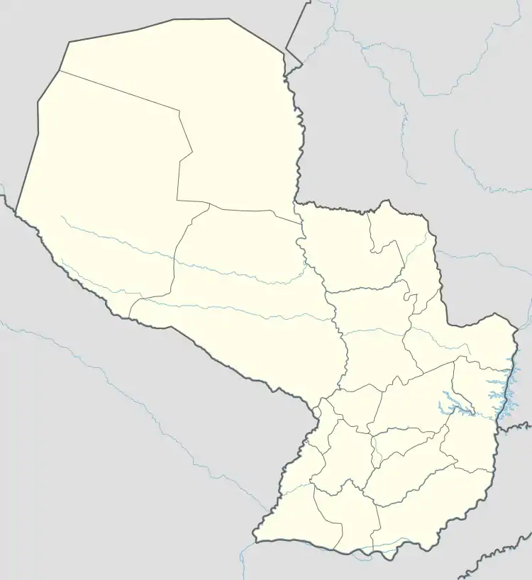
Caaguazú (Spanish pronunciation: [ka(a)ɣwaˈsu]) is a district and city in the department of the same name in Paraguay.
Caaguazú | |
|---|---|
District & City | |
 Flag | |
 Caaguazú | |
| Coordinates: 25°27′36″S 56°1′12″W | |
| Country | |
| Department | |
| Founded | May 8, 1845 |
| Government | |
| • Intendant | Severo Jose Ríos (PLRA) |
| Area | |
| • Total | 977.64 km2 (377.47 sq mi) |
| Population (Est. 2021) | |
| • Total | 127,328 |
| Demonym | Caaguazeño/a |
| Postal code | 3400 |
| Area code | 522 |
| Website | http://caaguazu.gov.py/ |
Demographics
According to the INE (the local census bureau), the urban area itself has a population of 63,000, while the district has a total of 127,328 inhabitants.
Economy
Caaguazú had the greatest concentration of sawmills in Paraguay about fifteen to twenty years ago and up until today is still called the “Wood Capital” of Paraguay, in Spanish (Capital de la Madera). Caaguazú still has more than ten big wood industries producing wood flooring among other things. The many sawmills have mostly moved to the northeastern part of Paraguay, where there are many more logs.
Transportation
National routes PY02 and PY13 pass through the city. PY02 connects it with the two major urban areas of the country, Asunción 173 km (107 mi) west, and Ciudad del Este 135 km (84 mi) east. The closest airport to the district is Guaraní International Airport (AGT). Distance from the airport to Caaguazú is about 120 kilometers.[1]
References
- "Closest airport to Caaguazú, Paraguay". Closest Airport to. Retrieved 2022-12-03.
External links
- www.caaguazu.com.py El mayor Portal de Contenido de Caaguazú - República del Paraguay.
- infoCaaguazu.com Página de noticias, información cultural y comercial de Caaguazú.
- Coord. geográficas e imágenes satelitales
- Pagina de la Municipalidad de Caaguazú
- Información sobre La Ruta de la Mentira en Caaguazu